Points of Interest
The Points of Interest category includes map layers such as schools.
Use points of interest information to:
- Evaluate points of interest such as schools surrounding a proposed development.
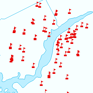
Schools
-
School Points from FGDL
-
How to Access Points of Interest Map Layers
Use the MapWise GIS Map Viewer to explore points of interest maps and related information.
- Built for real estate professionals.
- Covers the state of Florida.
- 7-Day Free Trial
- Pricing Info