MapWise Help Center
No matching topics found
Loading...
...Or Choose a MapWise Application to Get Started

Quick Tips & Getting Started
Below are a few pointers to help you jump-start your MapWise experience. Explore each application above for detailed docs and videos.
Getting Started
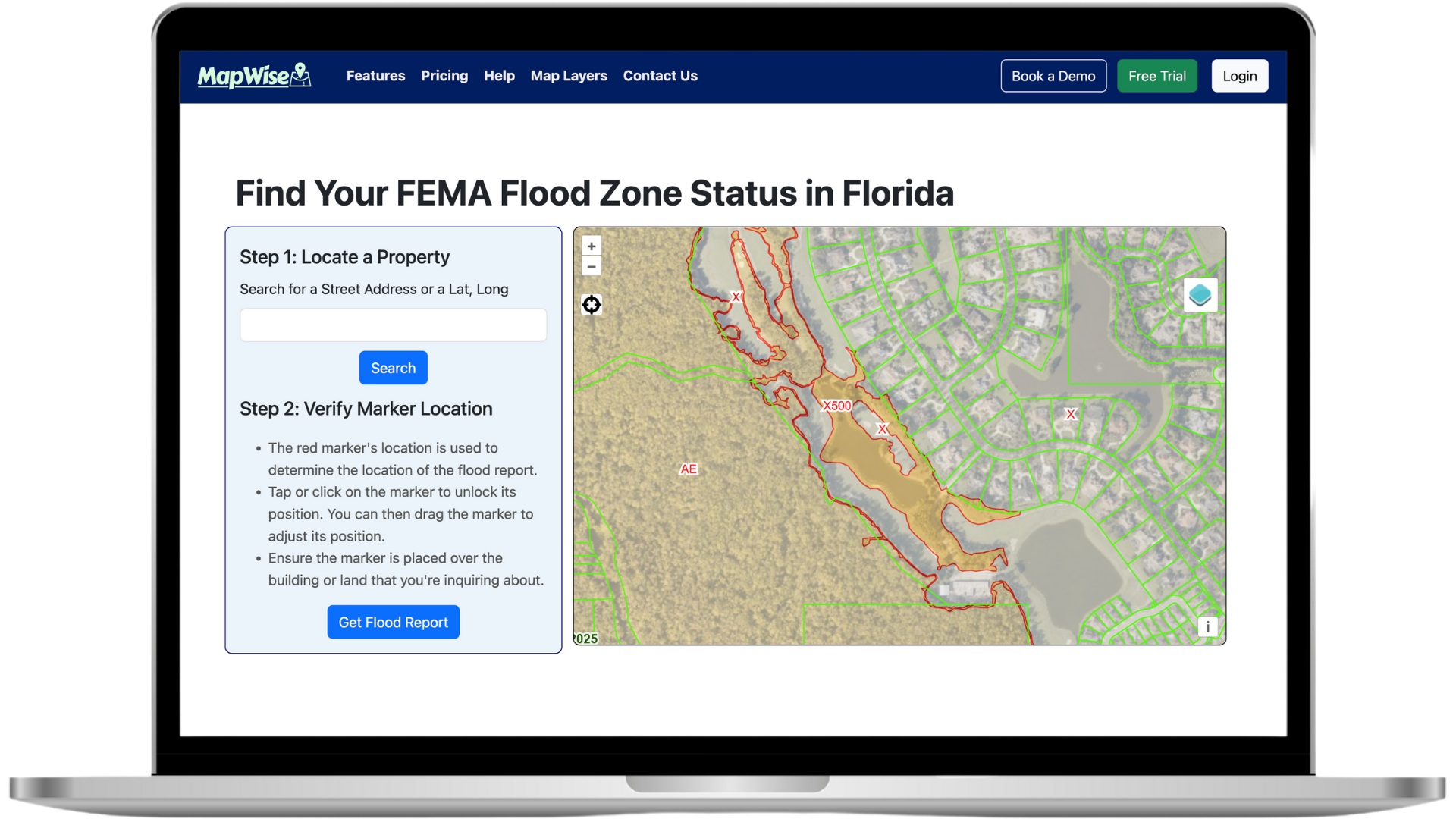
- After signing up or logging in, launch the Map Viewer or Flood Zone Tool from your dashboard.
- Use the search bar to locate an address, parcel ID, or zoom directly to an area.
- Need a refresher? Each help topic above dives deeper into features with screenshots & tutorials.
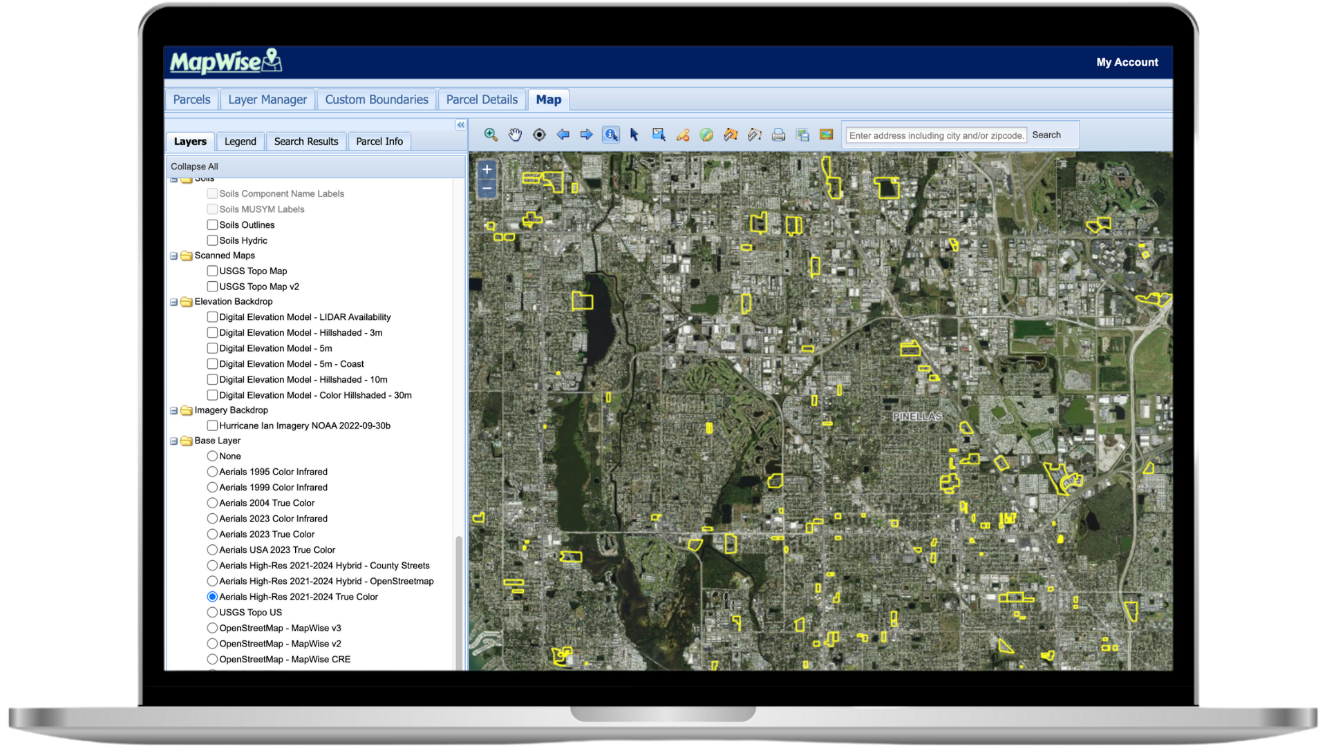
GIS Map Viewer Tips
- Enable the i-tool (information tool) and click on a parcel to view property details.
- Use the Select Parcels tools (point, polygon, radius, line) to search directly from the map.
- Create a Drawing Project to save polygons and run searches within your own boundaries.
Map Layers
- Browse hundreds of layers in the Layers tab—scroll to see them all.
- Some layers are scale dependent—zoom in to activate detailed choices like Future Land Use. This keeps the map fast at wide zoom levels while showing full detail when you need it.
- The Layer Manager lets you add additional layers to your map on the fly.
Drawing Tools
- Watch the Drawing Tools video for a quick overview.
- Remember to deselect the active drawing tool before editing an existing shape.
- Save drawings to reuse them across sessions and searches.
Need Additional Help?
Contact our support team
See MapWise in Action
Schedule a personalized demo
Ready to Get Started?
Select a plan or start your free trial