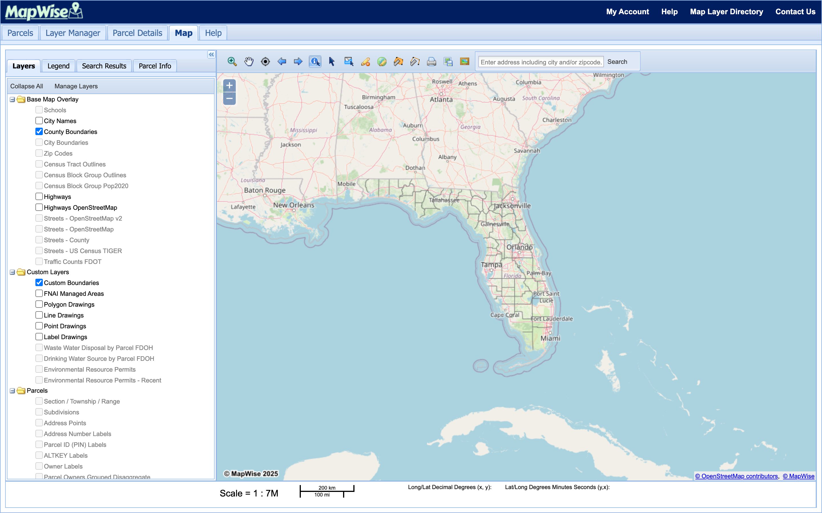
GIS Map Viewer
MapWise's GIS Map Viewer is a web-based mapping and parcel-research tool for Florida real estate professionals. Search parcels, add map layers, draw shapes, and track custom boundaries, all from one map. Pick a topic below for the full walkthrough.
Help Topics
Taskbar Tools
All 15 taskbar tools (search, zoom, pan, GPS locate, identify, select parcels, drawing tools, measurement, and print) with each button’s exact tooltip text.
Learn moreParcel Search
Find Florida parcels by owner name, address, parcel ID (PIN), land use, acreage, or sale history: one county, up to five, or the entire state.
Learn moreLayer Manager
Add any of 111 built-in map layers, or upload your own zipped Shapefile or KML file as a custom layer.
Learn moreCustom Boundaries
Select parcels on the map and merge them into a trackable custom boundary record with a name, category, and notes.
Learn moreDrawing Tools
Add points, labels, lines, and polygons to the map, then search parcels within any shape you draw.
Learn moreUse Cases
Real-world workflows for appraisers, surveyors, developers, investors, engineers, and real estate brokers.
Learn moreReady to Get Started?
Select a plan, schedule a personalized demo, or contact our support team.