Layer Manager
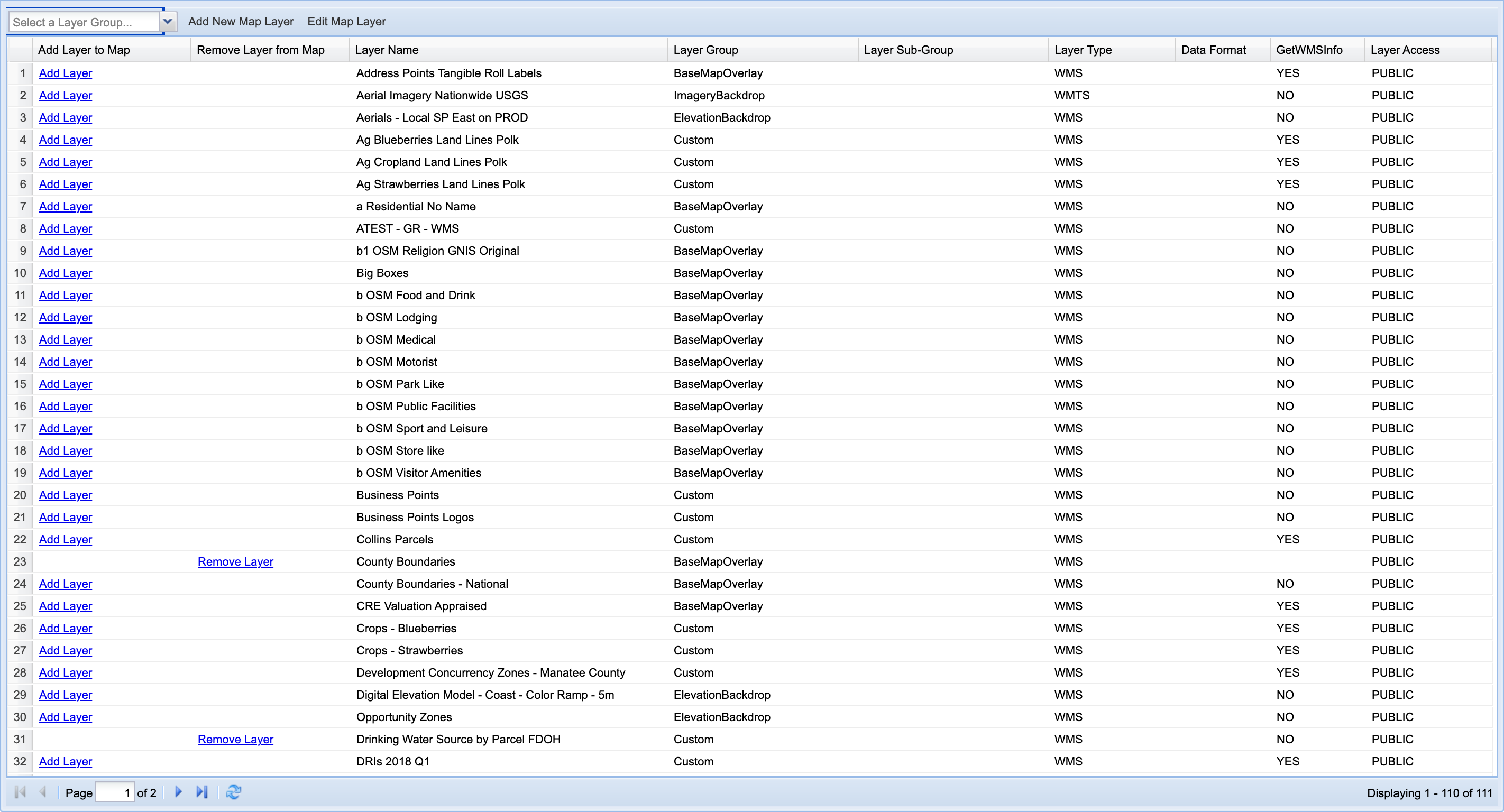
MapWise's Layer Manager lets you add any of 111 built-in datasets to the map, or upload your own Shapefile or KML file as a custom layer. Open the Layer Manager tab, browse or filter the Available Map Layers grid, and click Add Layer next to any dataset to place it on the map.
How do I add a layer to the map?
- Click the Layer Manager tab at the top of the sidebar to open the Available Map Layers grid.
- Narrow the list with the Select a Layer Group... combo above the grid. There's no dedicated search box, so use the group filter to narrow the list.
- Find your layer's row and click Add Layer.
- Click Remove Layer in the same row at any time to take it back off the map.
You should now see the layer added to the map, and its row showing Remove Layer instead of Add Layer.
How do I filter layers by group?
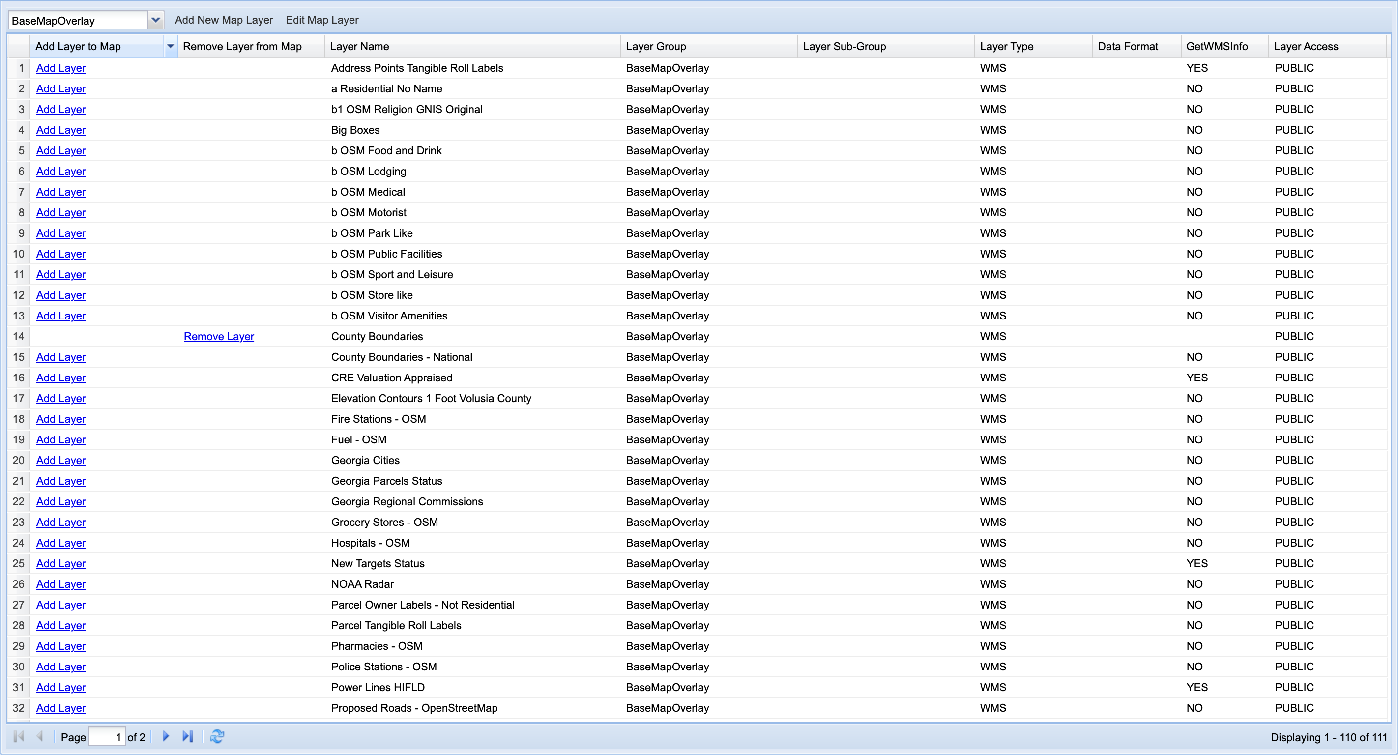
The grid lists all 111 available layers across two pages. The numbers in the leftmost column are just row position on the current page, not a stable layer ID, so use the group filter instead of trying to remember a number.
- Click Select a Layer Group... above the grid.
- Choose a group from the list (e.g. BaseMapOverlay, Custom, Parcels). The grid filters immediately to matching layers.
You should now see only layers from the group you chose.
Which layers does MapWise add automatically?
MapWise loads five layers by default every time you open the map: Custom Boundaries, County Boundaries, Drinking Water Source by Parcel FDOH, Environmental Resource Permits, and Environmental Resource Permits - Recent. Their rows already show Remove Layer. No action is needed unless you want to turn one off.
Some layers are scale dependent: zoom in to activate detailed choices like Future Land Use. This keeps the map fast at wide zoom levels while showing full detail when you need it.

How do I upload my own map layer?
Click Add New Map Layer to open the New Layer Source window, then choose Upload a data file (zipped SHP or KML), the only upload option currently available; GPX, CAD, and a couple of other sources are listed as Coming Soon but aren't live yet. See Uploading Custom Layers for the full walkthrough, including the two-window upload form and permission settings.
What other layers are available?
Beyond the defaults, popular add-on layers include Eagle Nests and Eagle Nests Buffer, three Hospitals variants, three Power Lines variants, Police Stations - OSM, three Subdivisions variants, and Big Boxes (retail locations). Add any of them the same way: find the row and click Add Layer.
Ready to Get Started?
Select a plan, schedule a personalized demo, or contact our support team.