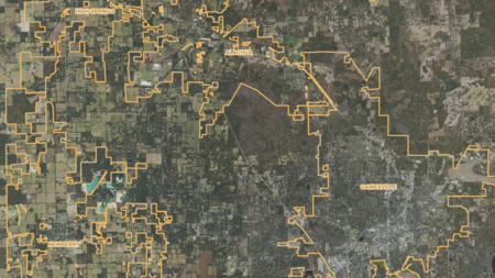
Schools, City Names, County Boundaries...
Custom Boundaries, FNAI Managed Areas, Polygon Drawings...
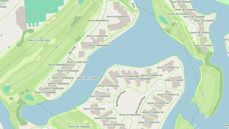
Essential Parcel related Information, and Recent Parcel Sales.
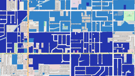
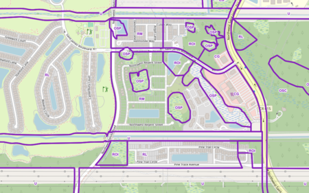
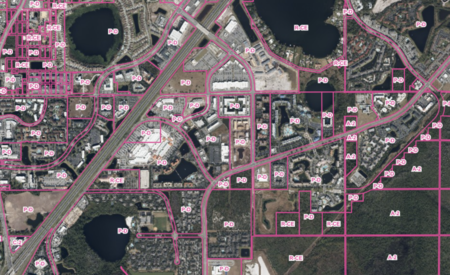
Overlays FLU Codes for Parcels in Florida.
Overlays Zoning Codes and Zoning Code Labels for Parcels in Florida.
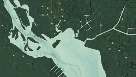
5 Foot Contours, DEM and Bathymetry, Digital Elevation Model...
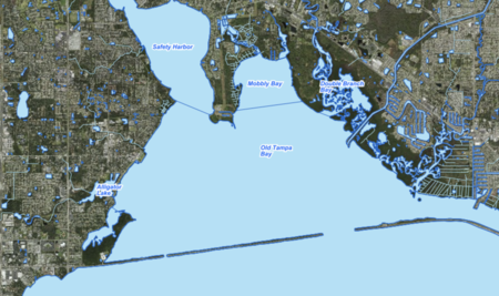
Drainage Basins, Lakes and Rivers Labels...
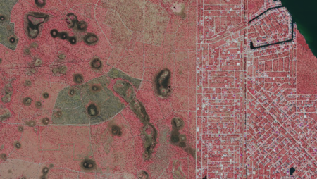
FEMA Flood Zones Panels, DFIRM Political...
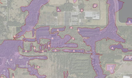
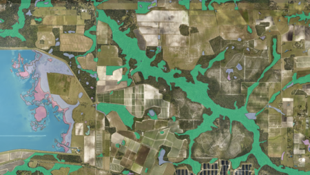
Land Cover Outlines and Labels, Wetlands...
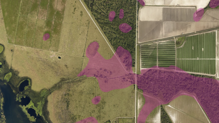
Soils Hydric, Soils Component Name Labels...
Layers for Aerial Reference of Storm-Related Damage
For High Resolution Aerial Imagery and Basic Map Information