Flood Zones
Flood Zones Overview
MapWise includes multiple FEMA-based hazard layers such as DFIRM panels, Flood Zone maps, and community boundary overlays. The FEMA Flood Zones DFIRM layer is especially valuable, offering printable flood zone maps that clearly delineate risk categories like X500 (500-year floodplain) or AE (high risk). Users can click parcels to get contextual flood data from the property details panel.
Use 'Flood Zones' map layers to:
- Get a per-parcel flood zone breakdown showing every zone type when a single parcel spans multiple FEMA zones
- Quickly verify flood status for insurance quoting and underwriting — reliable even when FEMA's site is slow or down
- Search for properties outside flood zones using polygon and buffer tools for better insurance rates
- Print PDF flood reports with FEMA effective panel dates for documentation and disclosure

Interactive Flood Zone Map
Generate flood reports, visualize FEMA DFIRM layers, and assess risk with our dedicated Flood Zone tool.
More Information on Flood Zone Tool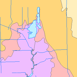
Florida Storm Surge Zones
Hurricane storm surge planning zones - a separate hazard from the FEMA flood zones above, and often confused with them.
View Florida Storm Surge ZonesWas this information helpful?
If not, please contact us and we'll gladly help you further.