Parcel Owners Grouped
About the Parcel Owners Grouped Layer
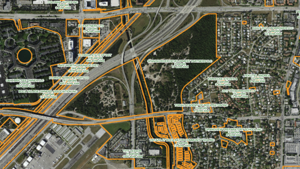
Identifies all parcels in a county owned by the same entity, supports comprehensive ownership analysis, aggregation strategies, or uncovering large landholders.
Layer Details
- Visible Scale Range
- 1:423 to 1:54K
- Layer Group
- Parcels
Was this information helpful?
If not, please contact us and we'll gladly help you further.
