Existing Land Use Labels
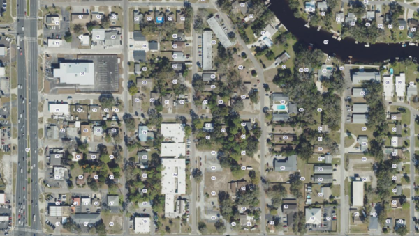
About the Existing Land Use Labels Layer
Labels parcels with existing land use codes based on local appraiser data, helps quickly understand how land is currently being used, whether residential, commercial, or public.
Layer Details
- Visible Scale Range
- 1:423 to 1:217K
- Layer Group
- Parcels
Was this information helpful?
If not, please contact us and we'll gladly help you further.
