Zoning
Zoning Overview
Whether you’re evaluating parcels for development, resale, or investment, zoning data reveals what’s legally allowed on the land—such as residential density, commercial use, or industrial activity. MapWise makes this data actionable by allowing users to view zoning boundaries on the map and search for parcels using zoning codes across counties. This gives professionals the insight needed to assess development feasibility, appraise land accurately, or match properties with buyers’ goals.
Use 'Zoning' map layers to:
- Search parcels by zoning code across counties without visiting individual municipal or county websites
- Quickly locate parcels zoned for multifamily, commercial, or mixed-use development
- Assess development feasibility by comparing zoning designations against market trends and FLU
- Identify zoning limitations that could affect property use, valuation, or resale potential
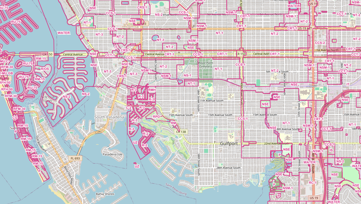
Florida Zoning, Land Use and Future Land Use
Look up what a property is zoned, its existing land use and its comprehensive plan Future Land Use designation - searchable by code.
View Florida Zoning, Land Use and Future Land UseWas this information helpful?
If not, please contact us and we'll gladly help you further.