Census Block Group Pop2020
About the Census Block Group Pop2020 Layer
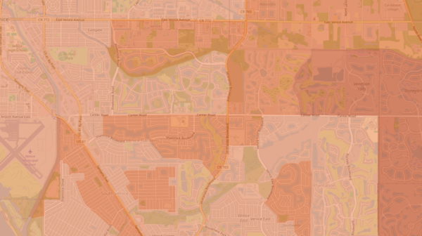
Provides a shaded overlay to visualize the population of each census block group in Florida recorded in the 2020 census.
Layer Details
- Visible Scale Range
- 1:423 to 1:7M
- Layer Group
- Base Map Overlay
Was this information helpful?
If not, please contact us and we'll gladly help you further.
