Address Points
About the Address Points Layer
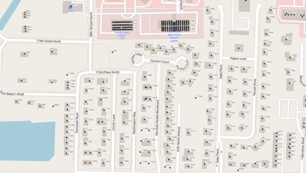
The Address Points Florida layer marks a coordinate for every known address in the state, so any list of street addresses can be placed on a map and any map click can resolve back to an address. It is the backbone of geocoding, service delivery, and location analytics in Florida, and it is assembled by MapWise from the best address data each county produces.
Where a county government publishes authoritative "rooftop" address points, which are placed directly over each structure, MapWise uses them as-is. Where a county does not yet publish rooftop points, MapWise generates an address point automatically from the centroid of the corresponding parcel polygon. Each record carries the full street address, unit number where applicable, city, zip code, parcel identifier, and the source county that supplied the original data.
Who uses this layer
Emergency dispatch and 911 centers rely on address points to route responders to a physical location in seconds. Delivery and logistics companies use them to place stops accurately, especially in rural areas where parcel-centroid geocoding can miss a driveway by hundreds of feet. Utility companies match customer addresses to service territories and meter locations. Marketing and analytics firms geocode customer files against address points to avoid the inaccuracy of street-centerline interpolation. Real estate platforms and MLS systems use them to show listings at the correct building rather than floating over the center of a parcel. Public health, social service, and outreach programs use them to plan door-to-door operations.
Coverage and accuracy
The layer covers every Florida county, with rooftop-quality points available wherever the county government publishes them and parcel-centroid points filling the gaps elsewhere. Rooftop points typically fall within a few feet of the actual structure. Parcel-centroid points are accurate to the center of the parcel, which is close for small suburban lots and can be off by several hundred feet for large rural tracts or retail plazas that contain many independent addresses. For any application that requires a specific building or unit, verify the address against local government records or a site visit.
Layer Details
- Visible Scale Range
- 1:423 to 1:3385
- Layer Group
- Parcels
About the Data
- Data Source
- County Property Appraisers, County Governments
- Publisher
- MapWise Inc.
- Publish Date
- 09/15/2024
- Update Frequency
- Annual
If not, please contact us and we'll gladly help you further.
