Streets - US Census TIGER
About the Streets - US Census TIGER Layer
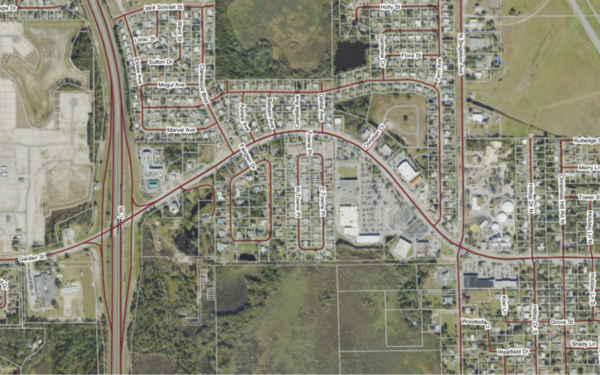
Displays streets from U.S. Census data, useful when aligning parcel data with federal demographic or geographic datasets.
Layer Details
- Visible Scale Range
- 1:423 to 1:7M
- Layer Group
- Base Map Overlay
Was this information helpful?
If not, please contact us and we'll gladly help you further.
