Aerials 2023 Color Infrared
About the Aerials 2023 Color Infrared Layer
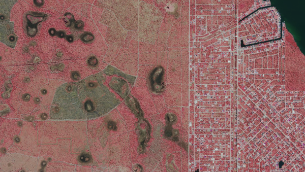
2023 Color Infrared aerial imagery highlights vegetation health and wetness. Often used to visually confirm wetland zones when cross-referenced with NWI or Water Management District data.
Layer Details
- Layer Group
- Base Layer
Was this information helpful?
If not, please contact us and we'll gladly help you further.
