Aerials 2004 True Color
About the Aerials 2004 True Color Layer
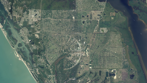
True color aerial imagery from 2004 captures early 21st-century land use. A useful reference for identifying development trends and pre-growth land conditions.
Layer Details
- Layer Group
- Base Layer
Was this information helpful?
If not, please contact us and we'll gladly help you further.
