Drainage Basins HUC
About the Drainage Basins HUC Layer
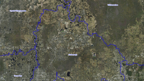
Every drop of rain that falls in Florida eventually flows to the ocean or the Gulf through a specific drainage basin, and the Drainage Basins HUC layer shows where those basin boundaries are drawn. HUC stands for Hydrologic Unit Code, a national system the US Geological Survey maintains for nesting basins from the continent-scale Region down to the local Subwatershed. This layer shows the 8-digit subbasin level, which is the most commonly used level for regional planning and modelling in Florida.
Each polygon on the map represents one subbasin, tagged with its 8-digit HUC identifier and a plain-language name such as Withlacoochee, Kissimmee, Apalachicola Bay, or Florida Keys. The boundaries follow topographic divides and, in Florida's flat landscape, engineered drainage features that direct surface water toward the coast.
Who uses this layer
Environmental consultants and water quality modelers use HUC boundaries as the primary geography for runoff, pollutant loading, and total maximum daily load calculations. Stormwater engineers and utility planners reference basin boundaries to size drainage infrastructure and plan flood control. The Florida Department of Environmental Protection and the five Water Management Districts use HUC subbasins to organize monitoring, permitting, and watershed restoration programs. Conservation groups track water quality and habitat at the basin scale. Agricultural lenders and crop advisors use basins to group farms for irrigation planning and fertilizer management. Researchers and graduate students use HUC boundaries as the standard unit for hydrologic analysis across Florida.
Coverage and accuracy
The layer covers the entire state of Florida and extends across state lines where a basin straddles the border with Georgia or Alabama. Boundaries were digitized from source maps at a scale of 1:24,000 in the 1990s by the Florida Department of Environmental Protection in cooperation with the South Florida Water Management District and the St Johns River Water Management District. Because basin boundaries are defined by topography and drainage infrastructure, they change slowly, and the data remains suitable for regional planning and screening. For site-specific basin assignments or permit-level decisions, confirm the boundary with the Florida Department of Environmental Protection or the relevant Water Management District.
Layer Details
- Visible Scale Range
- 1:423 to 1:14K
- Layer Group
- Hydrography
About the Data
- Data Source
- USGS / FDEP
- Time Period
- 2016-08-29
- Source Scale
- 24000
If not, please contact us and we'll gladly help you further.
