Shorelines Rivers Canals
About the Shorelines Rivers Canals Layer
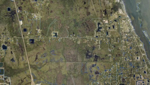
Shorelines and centerlines of Florida's rivers and canals, providing the vector outline of inland surface-water features.
Layer Details
- Visible Scale Range
- 1:423 to 1:14K
- Layer Group
- Hydrography
Was this information helpful?
If not, please contact us and we'll gladly help you further.
