Base Map Overlay
Base Map Overlay Overview
Base map overlay layers in MapWise enhance parcel analysis by adding contextual geographic, infrastructural, and demographic data directly onto the map. These layers include schools, city and county boundaries, ZIP codes, highways, street networks, census tracts, and FDOT traffic counts. Real estate professionals and developers use them to assess property value, access, jurisdiction, and development potential.
Use 'Base Map Overlay' map layers to:
- Use FDOT traffic counts to find high-volume roads, then buffer a highway or intersection to locate nearby commercial properties
- Display ZIP code boundaries to assist with mailing campaigns, logistics, or sales territory planning
- Identify city and county boundaries to quickly determine jurisdiction for zoning, permitting, and services
- Overlay census tracts and block groups for demographic analysis, population studies, or federal program eligibility
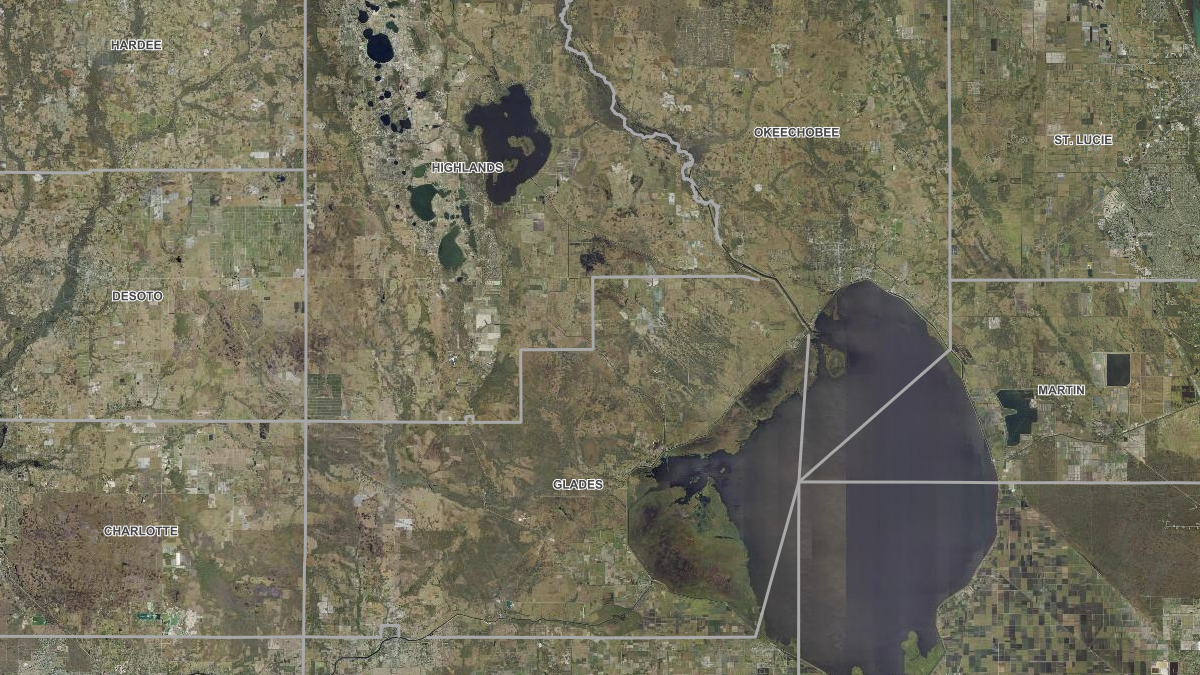
Florida County, City and Zip Code Maps
County and city boundaries, zip codes, census tracts and block groups for administrative and demographic context.
View Florida County, City and Zip Code Maps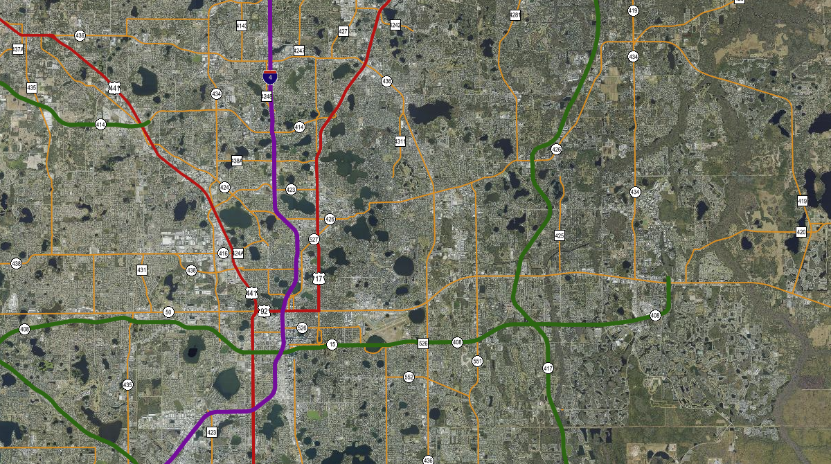
Florida Roads, Highways and Traffic Counts
Highways, county and OpenStreetMap street layers, plus FDOT traffic counts for access and site-selection work.
View Florida Roads, Highways and Traffic CountsWas this information helpful?
If not, please contact us and we'll gladly help you further.