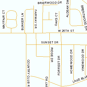
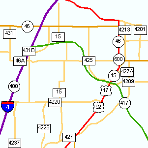
The transportation category includes roads, railroads, and airports. Roads includes detailed streets and highways.
Use transportation information to:
Locate sites near major highways and airports.
Locate addresses.
Streets - County
Description
Street centerlines mapped by a county government. If a county has mapped their streets, this map layer
is usually the best available from a government agency.
Usable Map Scale Range
1:3,600 to 1:100,000
Available Counties
Alachua, Baker, Bay, Bradford, Brevard, Broward, Charlotte, Clay, Collier, Columbia, Miami-Dade,
Dixie, Duval, Flagler, Gilchrist, Hamilton, Hardee, Hendry, Hernando, Highlands, Hillsborough, Indian River,
Jefferson, Lafayette, Lake, Lee, Levy, Madison, Manatee, Marion, Monroe, Nassau, Okeechobee, Orange, Osceola,
Palm Beach, Pasco, Pinellas, Polk, Putnam, Sarasota, Seminole, St Johns, St Lucie, Sumter, Suwannee, Taylor, Union, Volusia, Walton.
The highways map layer is from the Florida Department of Transportation. The linework originates from
USGS 1:24,000 roads, but many additions and changes have been made by FDOT.