County Boundaries
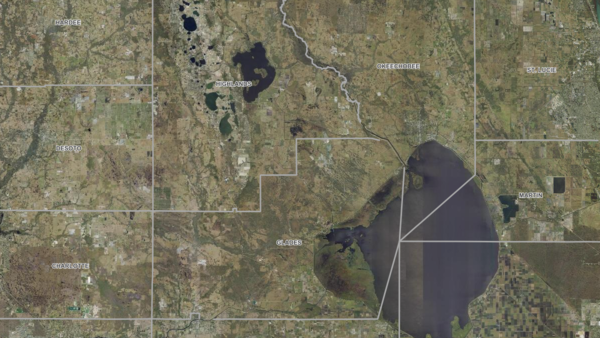
About the County Boundaries Layer
Outlines county limits across Florida; always enabled by default to provide essential jurisdictional context when analyzing parcel data or regulatory constraints.
Layer Details
- Visible Scale Range
- 1:423 to 1:7M
- Layer Group
- Base Map Overlay
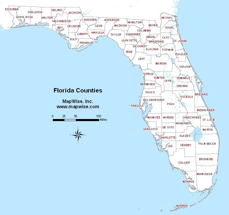
Interactive Florida Counties Map
Search for city names using Florida county names and view Florida county boundaries on our dedicated Florida Counties Map.
Open Counties MapWas this information helpful?
If not, please contact us and we'll gladly help you further.
