Five Foot Contours
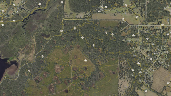
About the Five Foot Contours Layer
Five-foot land elevation contours for Florida, derived from legacy USGS topographic maps. Useful as a general terrain reference where newer LiDAR-derived contours are unavailable.
Layer Details
- Visible Scale Range
- 1:423 to 1:14K
- Layer Group
- Elevation
About the Data
- Data Source
- USGS, Florida Water Management Districts, Florida Department of Environmental Protection
- Publisher
- Florida Department of Environmental Protection
- Publish Date
- 09/17/2006
- Source Scale
- 24000
Was this information helpful?
If not, please contact us and we'll gladly help you further.
