USGS Topo US
About the USGS Topo US Layer
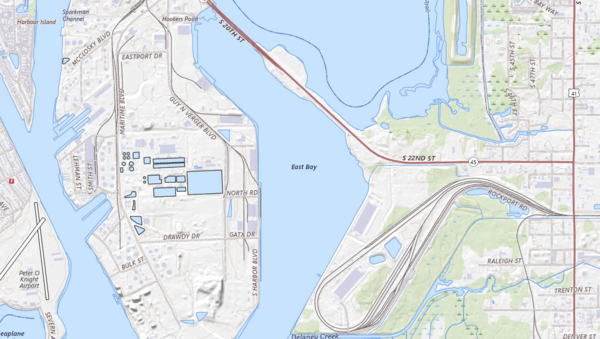
USGS topographic basemap offering terrain elevation, contours, and hydrography across the U.S. Ideal for identifying slope, elevation, and natural landforms.
Layer Details
- Layer Group
- Base Layer
Was this information helpful?
If not, please contact us and we'll gladly help you further.
