Digital Elevation Model Color Hillshaded 30 Meter
About the Digital Elevation Model Color Hillshaded 30 Meter Layer
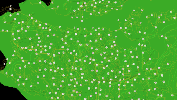
Provides a color-coded overlay of the elevation of the land. Pictured here layered with the '5 Foot Contours' Elevation layer.
Layer Details
- Visible Scale Range
- 1:423 to 1:14K
- Layer Group
- Elevation
Was this information helpful?
If not, please contact us and we'll gladly help you further.
