Aerials High Res 2023-2025 Hybrid - County Streets
About the Aerials High Res 2023-2025 Hybrid - County Streets Layer
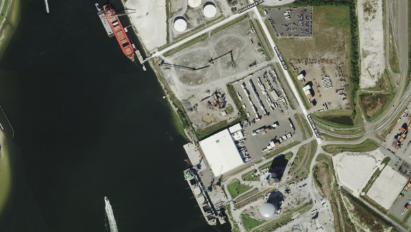
High-resolution imagery with a hybrid overlay of county-sourced street data. Combines visual clarity with detailed infrastructure context for site planning.
Layer Details
- Layer Group
- Base Layer
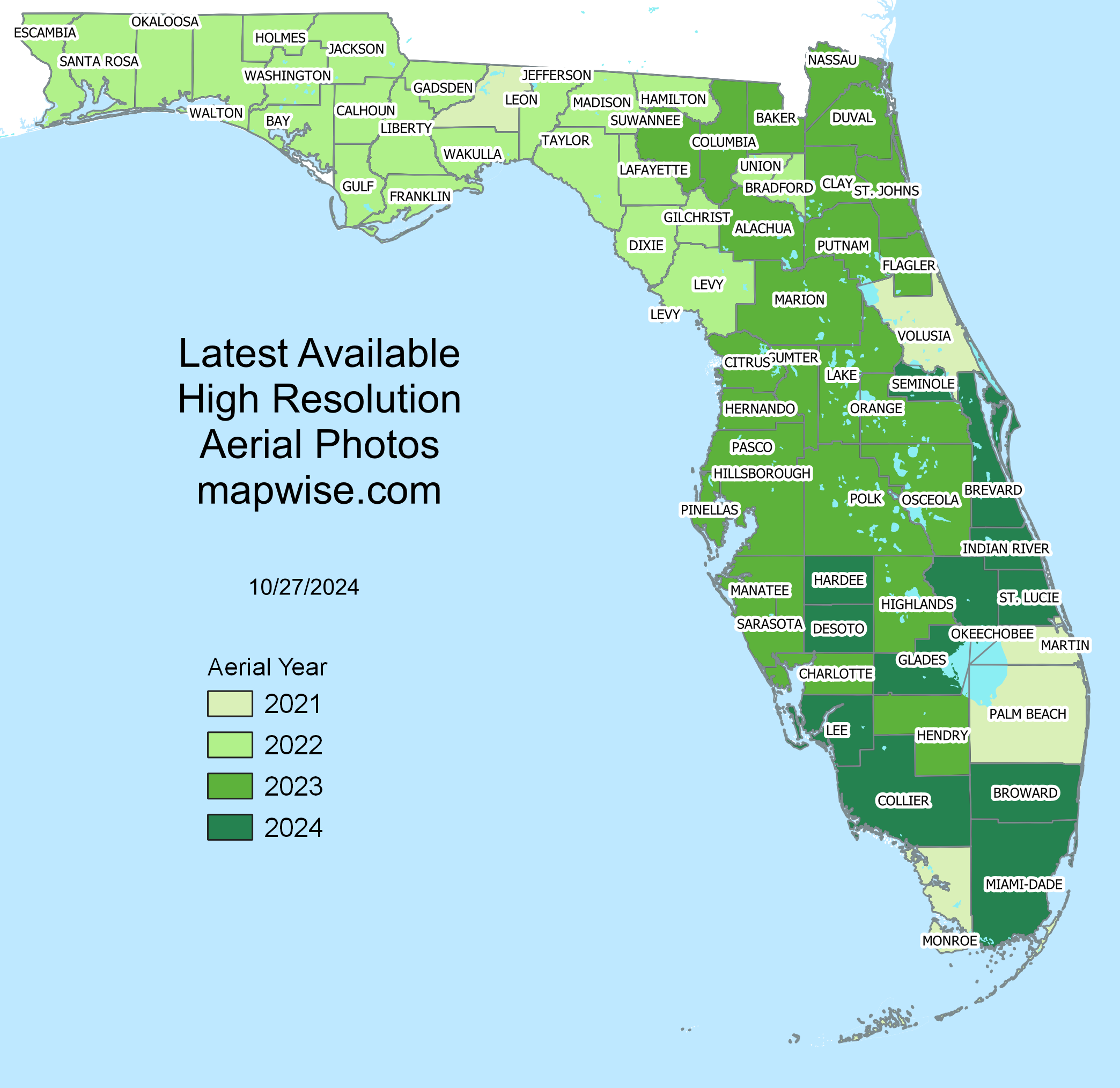
Florida Aerial Imagery Coverage Map
View a county-by-county map of Florida showing the most recent year of aerial imagery coverage in our hybrid imagery map layers. Each county is color-coded to indicate when its high-resolution aerial photos were last updated.
Aerial Details and Status MapWas this information helpful?
If not, please contact us and we'll gladly help you further.
