Section / Township / Range
About the Section / Township / Range Layer
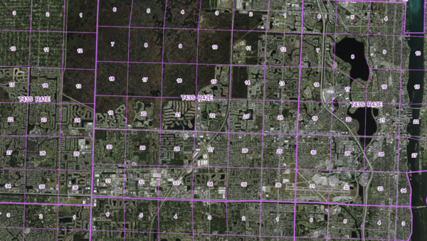
Displays Florida's Public Land Survey System grid, commonly used in legal descriptions and surveying, crucial for title research and development planning.
Layer Details
- Visible Scale Range
- 1:423 to 1:433K
- Layer Group
- Parcels
Was this information helpful?
If not, please contact us and we'll gladly help you further.
