Land Cover
Land Cover Overview
Provides users with parcel-aligned land cover classifications such as urban, agricultural, wetlands, forest, and water. These layers allow users to identify wetland areas, verify land characteristics, and cross-reference multiple data sources for accurate site evaluation.
Use 'Land Cover' map layers to:
- Overlay wetlands on parcels and measure wetland acreage within a specific parcel using drawing tools
- View auto-calculated wetlands percentage per parcel on the details page for quick site screening
- Compare Wetlands NWI (1970s baseline) against Wetlands 2023 to identify changes or validate discrepancies
- See wetlands and parcel boundaries in one view — replaces national wetland viewers that lack parcel overlays
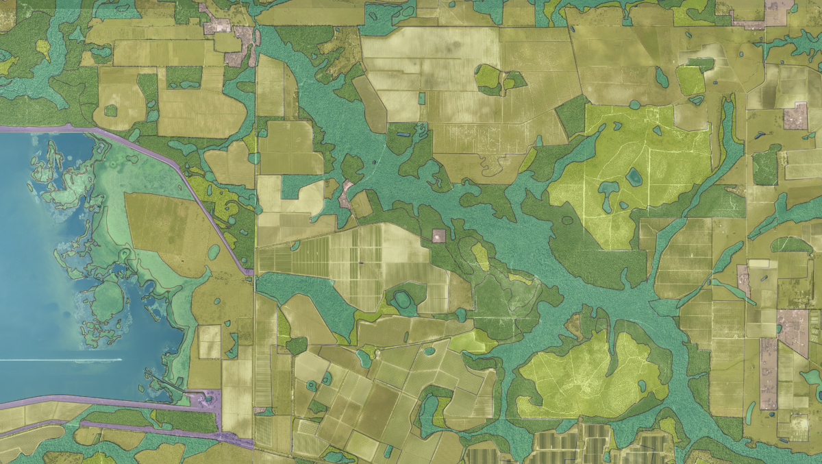
Florida Land Cover and Wetlands
Current land cover and Water Management District wetlands, alongside the historical NWI baseline for change comparison.
View Florida Land Cover and WetlandsWas this information helpful?
If not, please contact us and we'll gladly help you further.