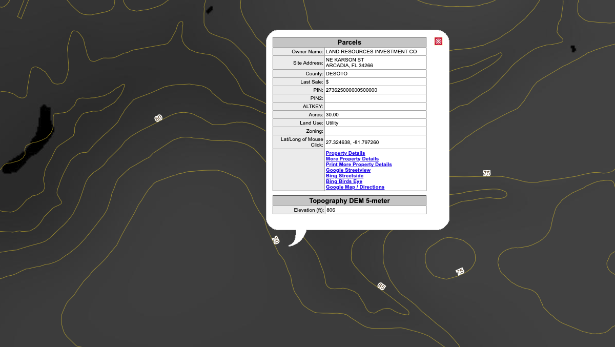
Digital Elevation Model 5 Meter

Provides a color-coded five-meter digital elevation model of the land. Can be used in conjunction with the 'Identify map feature' tool to get the elevation of a specific parcel. Pictured here layered with the '5 Foot Contours' Elevation layer.
Was this information helpful?
If not, please contact us and we'll gladly help you further.