Soils
Soils Overview
Includes Soil Component Labels, Map Unit Symbols (MUSYM), and Hydric Soil indicators. Clicking a parcel provides information like drainage class, soil type (e.g., fine sand), corrosion potential, and engineering rating. Hydric soils—those that retain water—can signal poor drainage or development challenges.
Use 'Soils' map layers to:
- View auto-calculated soil type and hydric group percentages per parcel on the details page
- Overlay soils with elevation, wetlands, and parcels for a complete engineer site assessment in one session
- Identify hydric or unsuitable soils before purchase — click any parcel to see drainage class, corrosion potential, and engineering ratings
- Adjust appraisal value based on soil constraints that reduce usable acreage or increase construction costs
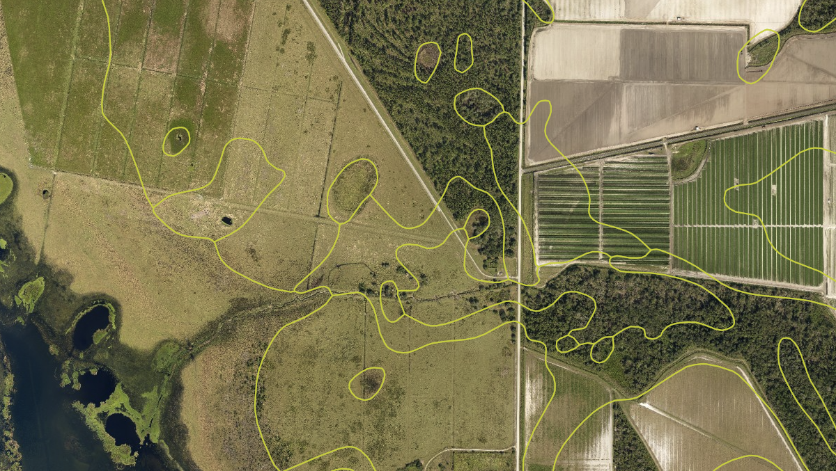
Florida Soils Maps and Data
Soil survey mapping units, drainage class, hydric indicators and engineering ratings - the detail site suitability and septic work depends on.
View Florida Soils Maps and DataWas this information helpful?
If not, please contact us and we'll gladly help you further.