Aerials 1995 Color Infrared
About the Aerials 1995 Color Infrared Layer
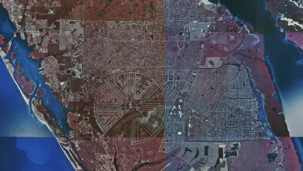
1995 color infrared aerial imagery provides historic CIR visualization used to detect vegetation and moisture presence. Useful for tracking long-term land changes and identifying legacy wetland zones.
Layer Details
- Layer Group
- Base Layer
Was this information helpful?
If not, please contact us and we'll gladly help you further.
