Hydrography
Hydrography Overview
Hydrography layers show important water-related features including drainage basins, lakes, rivers, canals, and shorelines. These overlays help visualize how surface water moves across the landscape and which parcels lie within a particular basin. Labels for water bodies like bays and rivers assist in locating hydrologically significant areas, while blue polygon layers highlight water flow areas.
Use 'Hydrography' map layers to:
- Determine if runoff will impact surrounding parcels or wetlands.
- Account for proximity to lakes or rivers when adjusting property value.
- Plan infrastructure around water access or avoid encroaching on drainage zones.
- Assess watershed impact during permitting phases.
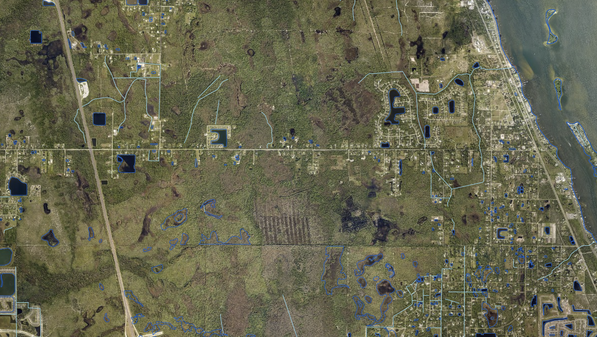
Florida Hydrography and Drainage Basins
HUC drainage basins, shorelines, rivers and canals - the surface water context behind any drainage or permitting question.
View Florida Hydrography and Drainage BasinsWas this information helpful?
If not, please contact us and we'll gladly help you further.