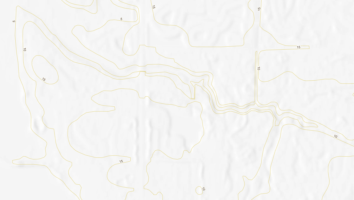
Digital Elevation Model Hillshaded USA

Provides a hillshaded overlay of the elevation of the land. Pictured here layered with the '5 Foot Contours' Elevation layer.
Was this information helpful?
If not, please contact us and we'll gladly help you further.