DFIRM Political
About the DFIRM Political Layer
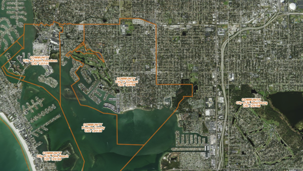
Jurisdictional community boundaries associated with FEMA DFIRM flood maps in Florida, identifying the city or county responsible for each panel.
Layer Details
- Visible Scale Range
- 1:423 to 1:14K
- Layer Group
- Flood Zones
Was this information helpful?
If not, please contact us and we'll gladly help you further.
