Drinking Water Source by Parcel FDOH
About the Drinking Water Source by Parcel FDOH Layer
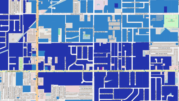
Provides a shaded overlay to visualize known or likely public/well drinking water sources, grouped by parcel.
Layer Details
- Visible Scale Range
- 1:423 to 1:7M
- Layer Group
- Custom Layers
Was this information helpful?
If not, please contact us and we'll gladly help you further.
