Base Layer
Base Layer Overview
MapWise’s base layers offer high-resolution aerial imagery and street maps that provide essential visual context for properties across Florida. These layers help real estate professionals analyze site conditions, assess property features, and understand surrounding infrastructure.
Use 'Base Layer' map layers to:
- Verify site conditions in the field — view aerials on your phone or tablet and measure features like crop area while on site
- Provide visual context in appraisals, reports, and investor presentations using high-resolution imagery
- Use color infrared (CIR) imagery to visually identify wetland areas before formal analysis
- Compare imagery across years to track land or development changes over time
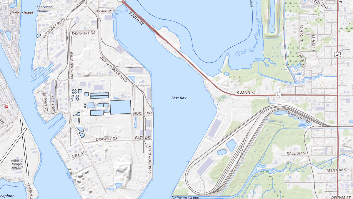
USGS Topographic Maps (Scanned DRG)
Scanned USGS topographic quadrangles - the historical topo record, useful for prior conditions and legacy survey references.
View USGS Topographic Maps (Scanned DRG)Was this information helpful?
If not, please contact us and we'll gladly help you further.