Digital Elevation Model 5 Meter Coast
About the Digital Elevation Model 5 Meter Coast Layer
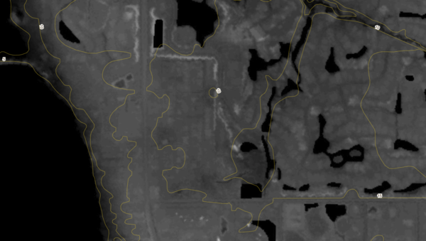
The Digital Elevation Model layer shows the height of the land surface across Florida, measured in feet above sea level, at a resolution fine enough to pick out roadway grades, berms, drainage swales, and subtle topographic features that matter in a state this flat. Every pixel on the map represents a five-meter-square patch of ground with its own elevation value, producing a continuous statewide surface that can be shaded, contoured, or analyzed.
The layer is assembled from four source datasets, with recent LiDAR surveys providing the highest accuracy wherever they are available and older USGS topographic data filling in elsewhere. The Florida Geographic Data Library compiled and harmonized the inputs so that a single consistent statewide surface is presented, with edge-matched transitions between source regions.
Who uses this layer
Civil engineers and site planners use elevation to evaluate stormwater drainage, fill requirements, and road grading before site design begins. Flood risk analysts and insurance professionals compare elevation to base flood elevations to gauge exposure on specific properties, well beyond what a simple flood zone map can show. Environmental consultants combine elevation with soils and hydrology to model wetland extent and watershed behavior. Real estate buyers, especially in coastal and low-lying areas, use it to understand how a parcel sits relative to surrounding land. Agricultural operators plan irrigation, drainage, and crop layout around subtle topographic changes.
Coverage and accuracy
The layer covers the entire state of Florida. Accuracy varies by source: areas captured with LiDAR are accurate to roughly nine inches vertically, while regions still relying on older topographic contour sources can be off by several feet. For engineering-grade work, always confirm elevations with a current licensed survey. The dataset is most useful for screening, reconnaissance, and broad analysis rather than for final design drawings.
Layer Details
- Visible Scale Range
- 1:423 to 1:14K
- Layer Group
- Elevation
About the Data
- Data Source
- FGDL
- Publisher
- FDGL
- Publish Date
- 1/2013
- Time Period
- 2012-06-01
- Horizontal Accuracy
- varies
- Vertical Accuracy
- varies: 9 inches for LIDAR up to 8 feet for 1:24,000 topo contour source
If not, please contact us and we'll gladly help you further.
