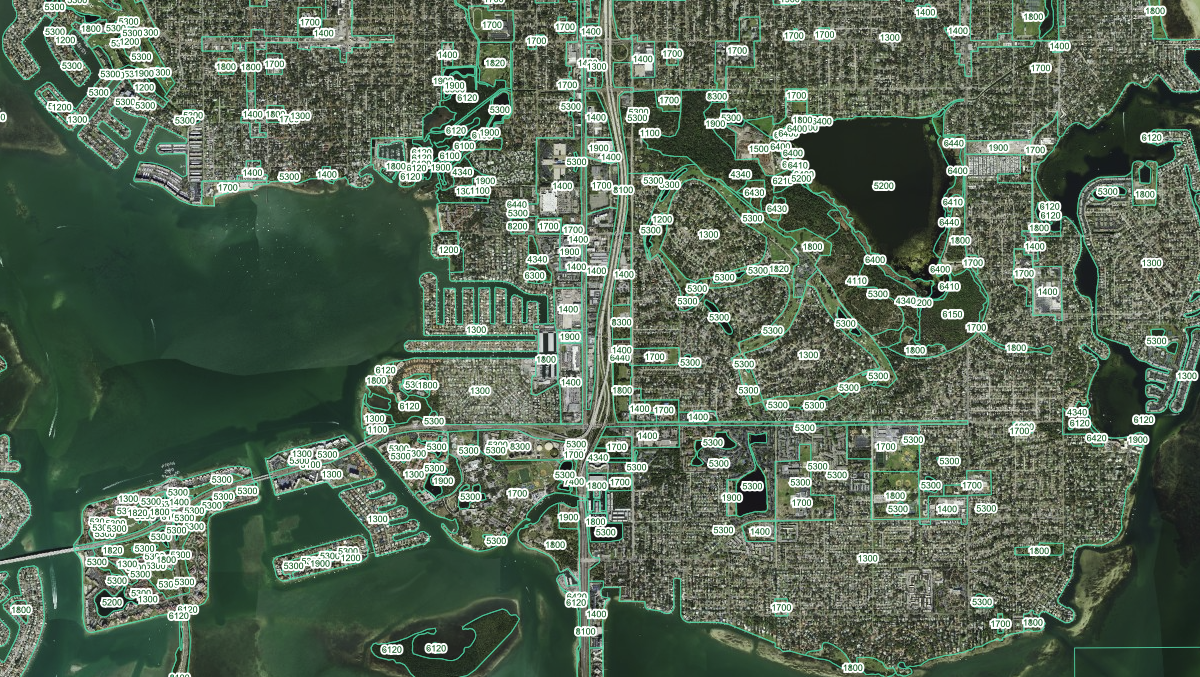
Land Cover 2023 Outlines and Labels

Land Cover 2023 Outlines and Labels displays land classification polygons with their labels. This layer is part of the broader Land Cover 2023 dataset sourced from Florida Water Management Districts, showing boundaries between different land use types such as urban, agriculture, forestry, wetlands, and water bodies.
Was this information helpful?
If not, please contact us and we'll gladly help you further.