Schools
About the Schools Layer
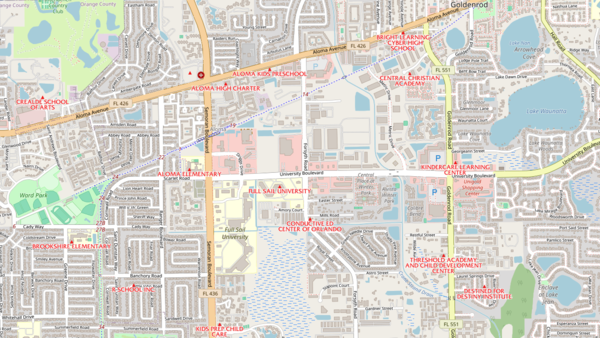
Where are Florida's schools, and who do they serve? The Schools layer answers those two questions for every public and private school in the state, from preschools through colleges and universities.
Each school on the map carries a full profile: name, district, address, grade range, enrollment, whether it is elementary, middle, high, charter, magnet, K-12, or post-secondary, principal contact, broadband availability, and whether it is a Title I campus. Where federal identifiers exist, they are carried through so the record can be matched against state and federal funding systems.
Who uses this layer
Real estate agents and appraisers reference school locations constantly. Families buying homes want to know their school zone, and appraisers use proximity to schools as a comparable-adjustment factor. Developers and homebuilders screen residential sites based on walking distance to schools and the quality indicators tied to each campus. Planners at cities and counties use the layer for capacity planning, school concurrency reviews, and sidewalk and crosswalk priority. Transportation and transit agencies overlay it with routing systems for bus stops and safe routes to school. Emergency managers flag schools as shelters or evacuation points. Social service and public health agencies use school coordinates to plan outreach for free and reduced lunch programs, youth services, and immunization clinics.
Coverage and accuracy
The layer covers all 67 Florida counties and combines data from 68 different source systems, including the Florida Department of Education Master School Identification file and the National Center for Education Statistics. Because school locations are geocoded from street addresses, position accuracy depends on each source's geocoder; most points fall within a few hundred feet of the actual building. Records confirmed against aerial imagery are flagged. The layer is refreshed periodically as the Florida Department of Education publishes new MSID updates, and individual campus records may still reflect older address or contact information. For decisions that turn on enrollment or program detail, confirm directly with the school district or the Florida Department of Education.
Layer Details
- Visible Scale Range
- 1:423 to 1:108K
- Layer Group
- Base Map Overlay
About the Data
- Data Source
- Florida Department of Education, Florida Geographic Data Library
If not, please contact us and we'll gladly help you further.
