Zoning
About the Zoning Layer
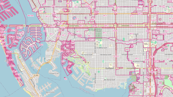
Zoning is the system Florida cities and counties use to control what can be built on every parcel of land and how it can be used. A property's zoning designation sets the ground rules: whether a lot is intended for single-family homes, apartments, retail, light industry, agriculture, or mixed use, plus the density, setbacks, height limits, and parking rules that come with each category.
The MapWise zoning layer stitches these local rules into a single statewide map. Every parcel is tagged with its current zoning code (for example, RSF-1, PUD, C-2, A-1), the plain-language description of that code, and the city or county that adopted it. When a municipality has not drawn its own map, the surrounding county's designation applies and is labeled accordingly.
Who uses this layer
Real estate appraisers rely on zoning to verify highest-and-best-use assumptions and to pick the right comparables. Developers and site selectors use it to screen large inventories of parcels for compatible zoning before ordering title work or site visits. Land use attorneys and consultants pull zoning alongside future land use to build rezoning and variance cases. Mortgage lenders and insurers check zoning during underwriting to flag non-conforming uses, and engineers and architects reference it early in feasibility work to confirm what a site can legally accommodate.
Coverage and accuracy
The layer covers all 36 Florida counties that publish digital zoning, along with the incorporated cities inside them. Most jurisdictions align zoning boundaries to parcel lines, which produces very accurate edges. A handful of agencies still publish zoning against older base maps, so fine-scale boundaries in those areas are approximate and should be verified against the source jurisdiction before a final decision.
Codes and boundaries change as local governments amend their codes, so this layer is refreshed on a semi-annual to two-year cycle. For permit-level decisions, always confirm the current designation with the adopting city or county.
Layer Details
- Visible Scale Range
- 1:423 to 1:14K
- Layer Group
- Zoning
About the Data
- Data Source
- County and Municipal Governments
- Publisher
- MapWise Inc.
- Publish Date
- On-going
- Update Frequency
- variable
If not, please contact us and we'll gladly help you further.
