Aerials 1999 Color Infrared
About the Aerials 1999 Color Infrared Layer
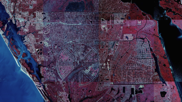
1999 color infrared imagery highlights vegetation and moisture presence prior to 2000s development. Offers value for historical comparison and environmental assessment.
Layer Details
- Layer Group
- Base Layer
Was this information helpful?
If not, please contact us and we'll gladly help you further.
