Future Land Use
About the Future Land Use Layer
Future Land Use is the long-range plan every Florida city and county adopts to decide what kind of development should go where over the next twenty years. Unlike zoning, which sets the rules that apply today, future land use describes the intended character of each area: low, medium, or high density residential, neighborhood or regional commercial, industrial, agriculture, conservation, mixed use, public or institutional, and so on. Zoning must generally be consistent with the future land use map, and rezoning requests that conflict with it typically require a comprehensive plan amendment.
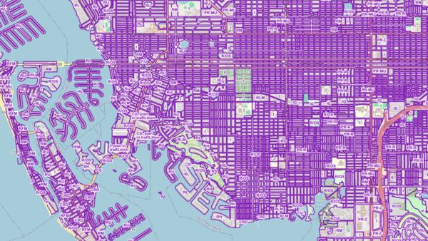
The MapWise Future Land Use layer assembles the maps from every Florida county and incorporated city into one continuous statewide coverage. Each parcel carries its future land use code, a plain-language description, the adopting jurisdiction, and, where available, the maximum residential density allowed under the designation. Where a city has not adopted its own map, the surrounding county's designation is shown.
Who uses this layer
Developers and land investors use future land use to identify parcels whose long-term potential is higher than their current zoning suggests, which is essential for assemblage plays and infill strategies. Land use attorneys and planning consultants build comprehensive plan amendment and rezoning cases around the map. Appraisers factor future land use into highest-and-best-use analyses, especially on properties being held for redevelopment. Municipal planners and economic development staff use the layer to track growth capacity and model buildout scenarios. Mortgage underwriters and insurers reference it when evaluating long-term viability of a property.
Coverage and accuracy
The layer covers all 36 Florida counties that publish digital future land use, plus the incorporated cities within them. Most boundaries follow parcel lines and are very accurate. A minority of jurisdictions still publish against older base maps, so edges in those places should be verified before final decisions. Future land use maps are amended on an ongoing basis as local governments update their comprehensive plans, and the layer is refreshed every six months to two years.
Layer Details
- Visible Scale Range
- 1:423 to 1:54K
- Layer Group
- Future Land Use
About the Data
- Data Source
- County and Municipal Governments
- Publisher
- MapWise Inc.
- Publish Date
- On-going
- Update Frequency
- Semi-Annual
If not, please contact us and we'll gladly help you further.
