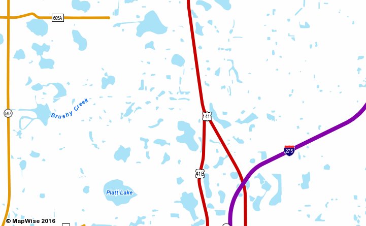
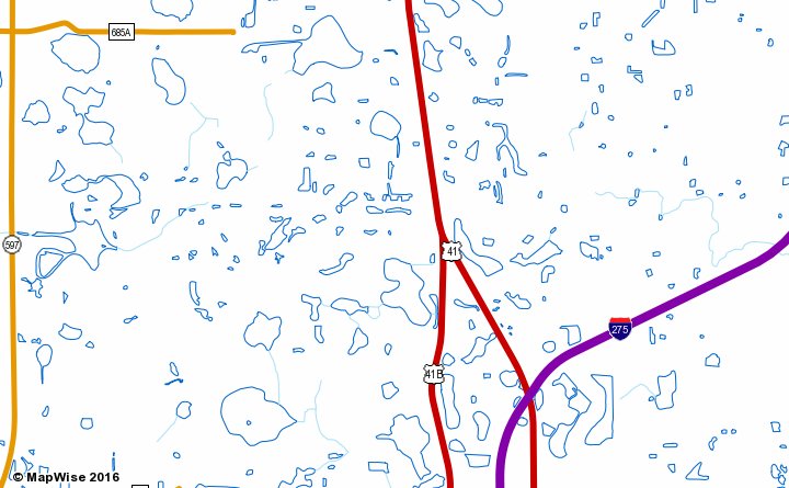
Hydrography

Hydrography information includes lakes, rivers, streams, and coastal water bodies.

Use hydrography information to:

  • Find waterfront property.
  • Find all water features near a location.
  • Understand the locations of major water features in Florida.

Lakes, Large Rivers, Coastal Waters

Description
This map layer includes all types of inland and coastal water bodies. Several versions of this map layer are available for use at different map scales.
Usable Map Scale Range
1:6,000 to 1:10,000,000
Data Source
National Hydrography Dataset (NHD) Areas and National Hydrography Dataset (NHD) Waterbodies
Map Samples

Hydrography Water Bodies Map Sample

Shorelines, Streams

Description
This map layer includes all types of inland and coastal shorelines. Several versions of this map layer are available for use at different map scales.
Usable Map Scale Range
1:6,000 to 1:10,000,000
Data Source
National Hydrography Dataset (NHD) Lines
Map Samples

Hydrography Streams Map Sample

How to Access Hydrography Map Layers

Use the MapWise GIS Map Viewer to explore hydrography maps and related information.