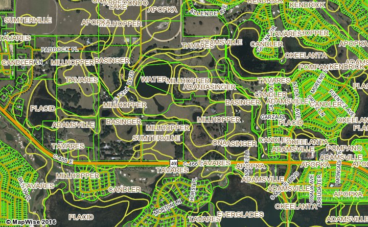
Soils

The soils map layers provide soil map unit boundaries and related soil series information. A soil series is a named soil type that has unique physical and chemical characteristics.

Use soils information to:

  • Determine the suitability of soils to support a given land use type.
  • View locations of wet soils in a region.
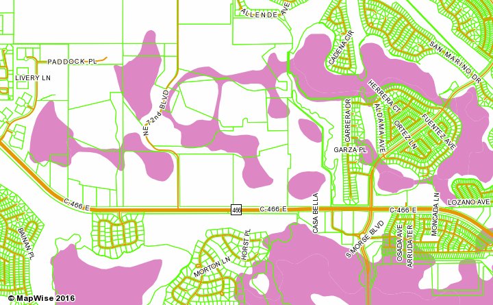
SSURGO Soils

Description
SSURGO soils are the most detailed soil maps available. The maps are part of soil surveys that were done by the Natural Resource Conservation Service (NRCS). Multiple soil properties are included in the soil attribute table, e.g. hydric soils.
Usable Map Scale Range
1:6,000 to 1:100,000
Data Source
Soils SSURGO
Map Samples

Soils Map Sample with Aerial and Parcels

Hydric Soils

Description
Hydric soils are soils that are generally wet and support wetlands vegetation. According to NRCS: "The definition of a hydric soil is a soil that formed under conditions of saturation, flooding or ponding long enough during the growing season to develop anaerobic conditions in the upper part."
Hydric Soils Overview from NRCS
Usable Map Scale Range
1:6,000 to 1:100,000
Data Source
Soils SSURGO
Map Samples

Hydric Soils Map Sample

How to Access Soils Map Layers

Use the MapWise GIS Map Viewer to explore soils maps and related information.