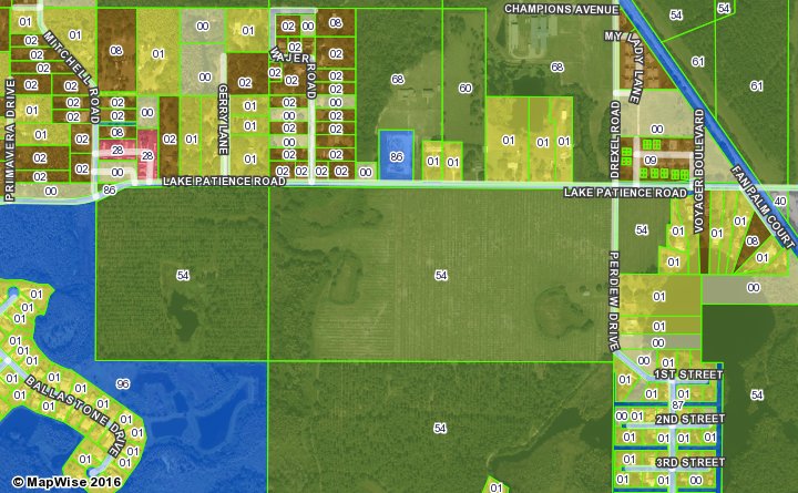
Land Use, Future Land Use and Zoning
Land use is defined by the Property Appraiser in each county and one or more codes are assigned to each each parcel of land.
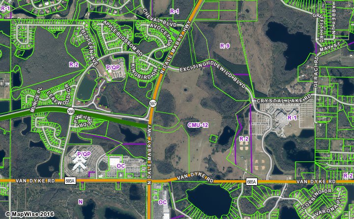
Future land use designations show land use types and densities that a county and/or city has determined to be the most desirable for a particular area. Future land use is meant to guide future development and re-development.
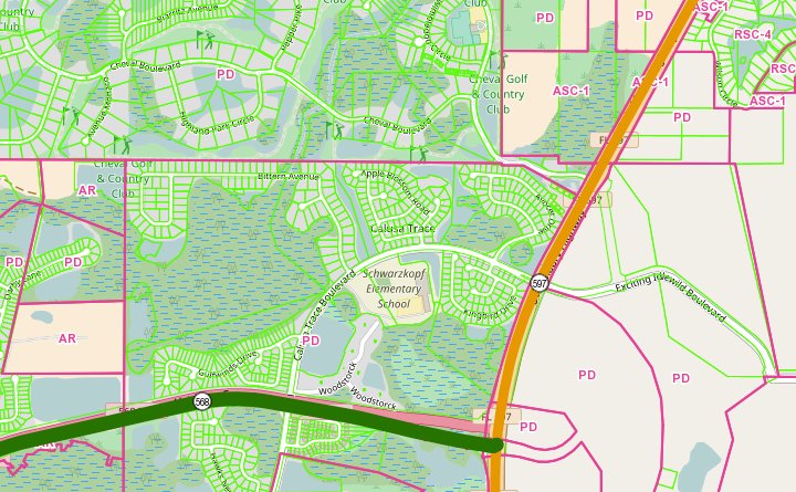
Zoning defines current allowable uses of land and characteristics of structures on the property such as building height.
Use land use and zoning information to:
- Evaluate what types of development can occur where.
- Evaluate what an area may look like in the future, based on the future land use map.
- Analyze existing land use.
Land Use
Future Land Use
Zoning
How to Access Land Use and Zoning Map Layers
Use the MapWise GIS Map Viewer to explore land use and zoning maps and related information.
- Built for real estate professionals.
- Covers the state of Florida.
- 7-Day Free Trial
- Pricing Info