Flood Zone Tool
Generate accurate flood reports by address to determine flood zones, insurance requirements, and flood risk anywhere in Florida.
Professional Flood Analysis
The MapWise Flood Zone Tool provides instant access to FEMA flood zone information for any address in Florida. Perfect for insurance professionals, real estate agents, surveyors, and property owners who need accurate flood data.
- Determine if property requires flood insurance
- Get Base Flood Elevation (BFE) data
- View FEMA map panel information
- Access comprehensive flood reports instantly
How to Use the Flood Zone Tool
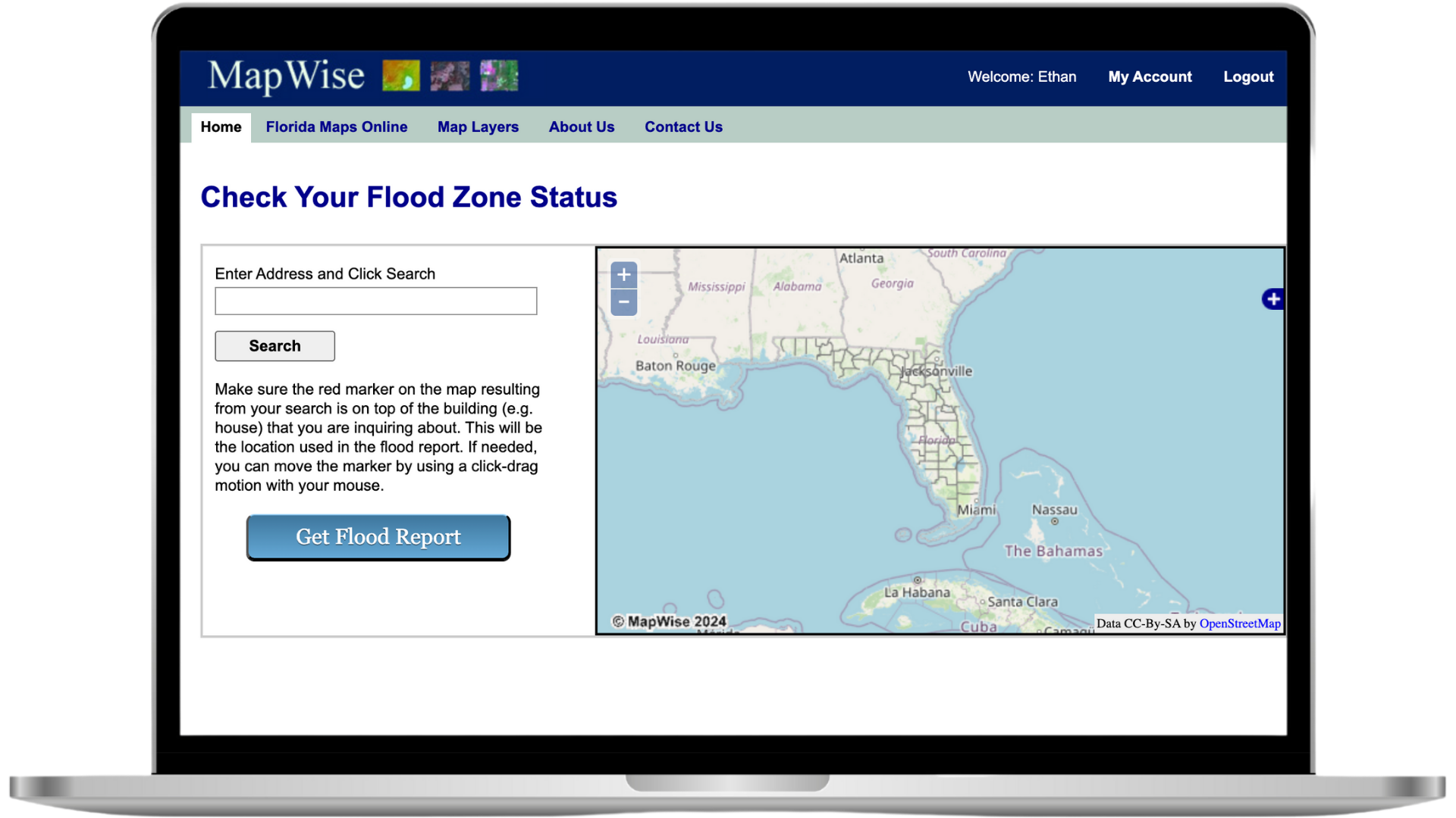
Enter Address
Enter any street address in Florida and the map will automatically zoom to that location. You can also use latitude/longitude coordinates in decimal degrees format (e.g., 28.7456, -81.7237).
Tip: Adjust the red pin marker to the exact building location for most accurate results.
Get Flood Report
Click "Get Flood Report" to generate a comprehensive flood analysis that includes flood zone designation, Base Flood Elevation, and insurance requirements.
Reports are generated instantly using the latest FEMA DFIRM data.
What's Included in Your Flood Report
Flood Zone Status
Clear indication if property is inside or outside a flood zone
Zone Code & Description
Specific FEMA flood zone designation (A, AE, X, etc.) with full description
Base Flood Elevation
BFE data when available from FEMA flood maps
Map Panel Date
Effective date of the FEMA flood map panel
Panel Number
FEMA map panel identification number
Community Information
Community name and FEMA community number
Included with GIS Map Viewer
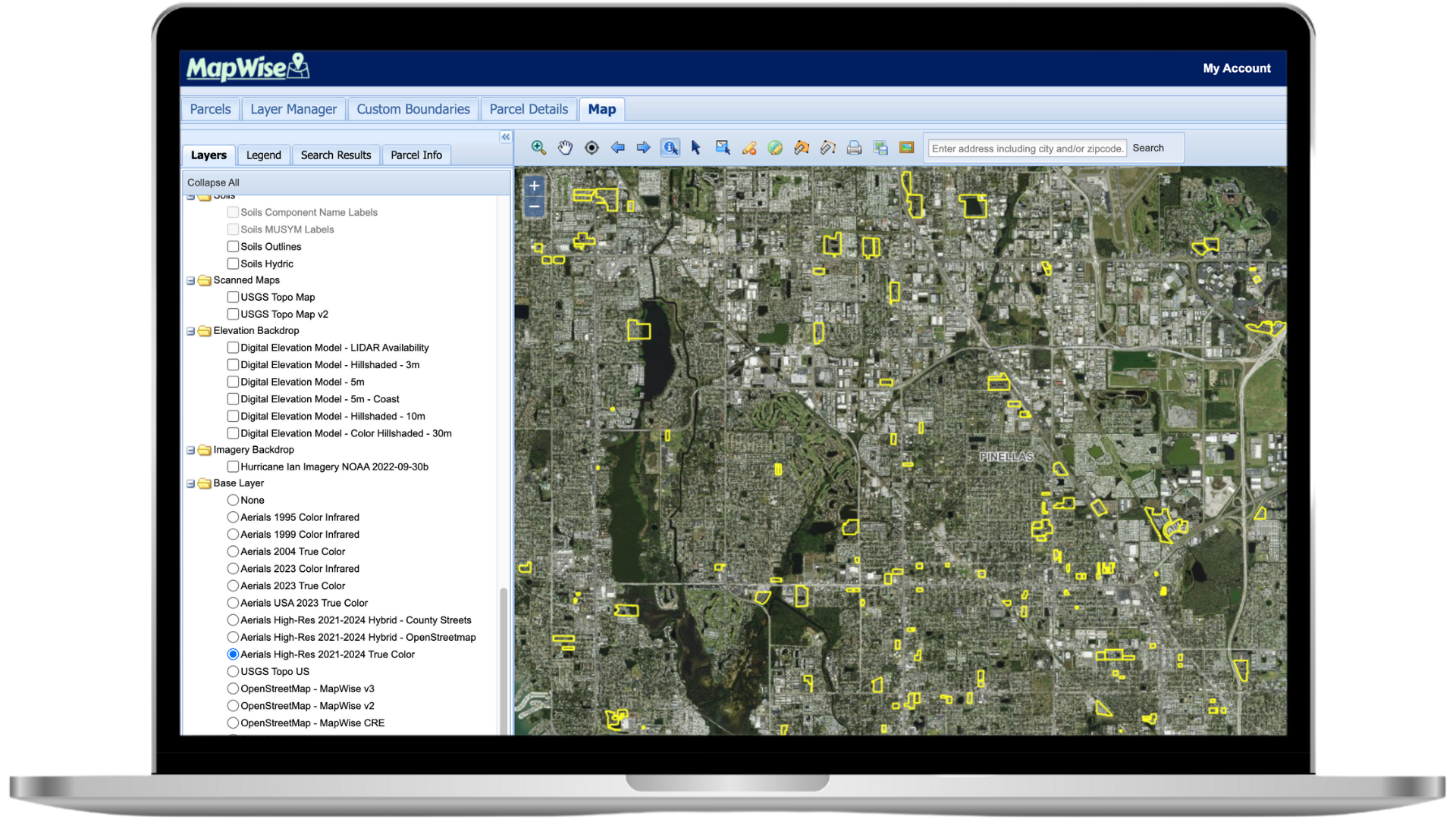
The Flood Zone Tool is included with your subscription to the MapWise GIS Map Viewer, giving you access to comprehensive mapping capabilities beyond just flood zones.
Additional Features Include:
- High-resolution aerial imagery
- Property boundaries and parcel data
- Wetlands and environmental layers
- Drawing and measurement tools
- Property search and analysis
- Custom map creation and printing
Interactive Flood Zone Map
Explore the Flood Zone Tool on a full-featured map to generate reports, visualize FEMA layers, and more, all in one place.
Launch Flood Zone MapReady to Get Started?
Select a plan, schedule a personalized demo, or contact our support team.