Political and Administrative
The Political and Administrative group includes state boundaries, county boundaries, city boundaries, city points, and zip codes.
Use political and administrative information to:
- View the locations of counties, cities, and zip codes in Florida.
- Zoom in to a particular county, city, or zip code.
- Determine which county, city, or zip code a map feature is located in.
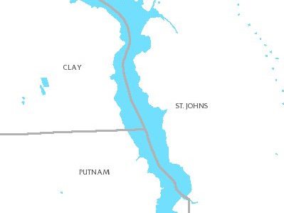
Florida County Boundaries
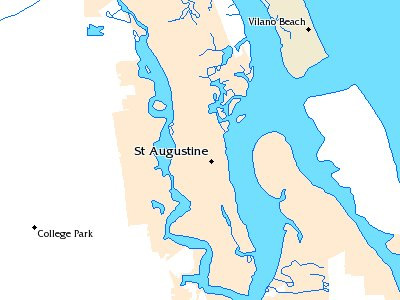
Florida City Boundaries
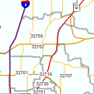
Florida Zip Codes
How to Access Political and Administrative Map Layers
Use the MapWise GIS Map Viewer to explore political and administrative maps and related information.
- Built for real estate professionals.
- Covers the state of Florida.
- 7-Day Free Trial
- Pricing Info