Elevation
Elevation is the height of land above sea level. Elevation is shown on maps in a variety of ways including contour lines, spot elevations, hillshaded relief, color hillshaded relief and colored areas.
Use elevation information to:
- Evaluate whether flooding or storm surge will affect your property.
- Look for closed basins where water can accumulate during heavy rains.
- Evaluate the flow of water over land.
- Determine the slope of the land.
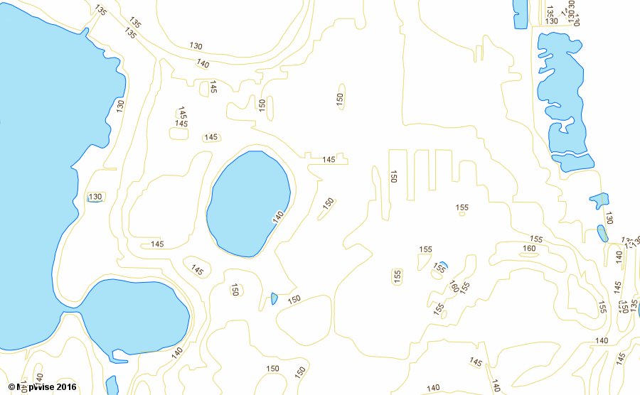
Five Foot Contours
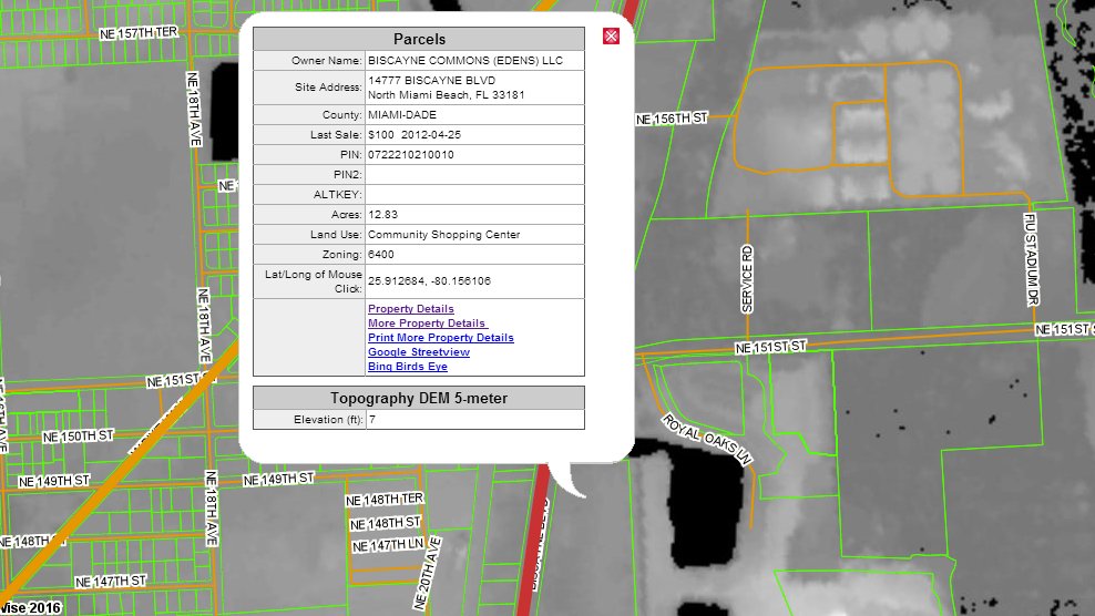
Elevation 5-Meter DEM
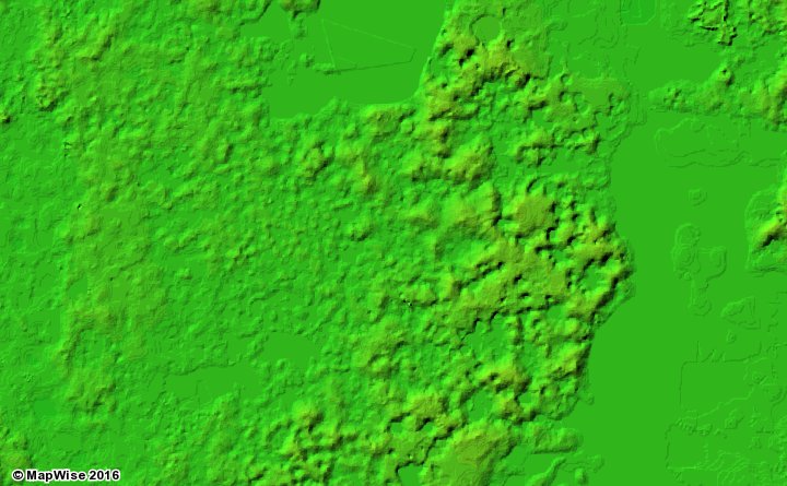
Hillshaded Elevation
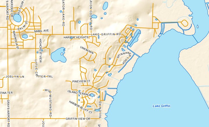
Color Hillshaded Elevation
How to Access Elevation Map Layers
Use the MapWise GIS Map Viewer to explore elevation maps and related information.
- Built for real estate professionals.
- Covers the state of Florida.
- 7-Day Free Trial
- Pricing Info