Elevation 5 Foot Contours
Abstract
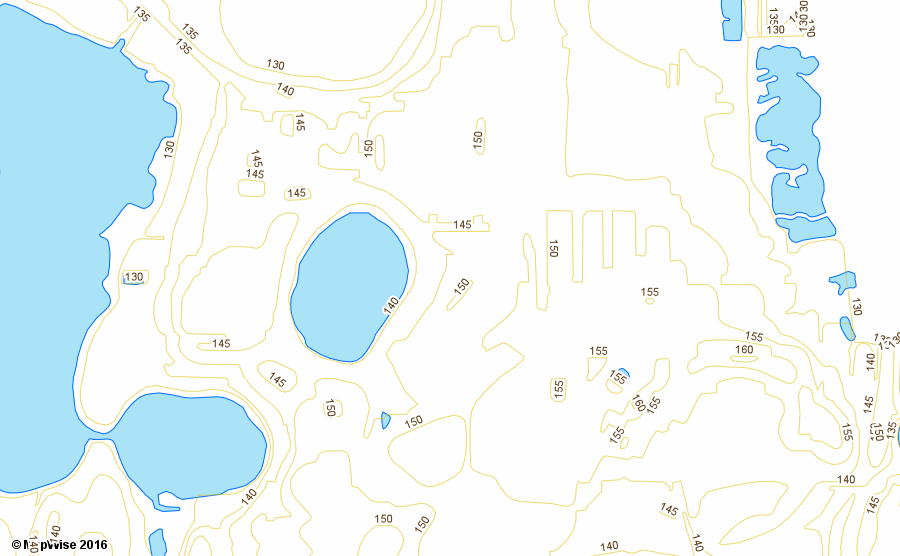
This data set represents five foot elevation contours that were digitized from USGS 1:24,000 Topographic Maps. The majority of the line intervals are five feet, however, there are some ten-foot intervals. Some areas were originally in meters and converted to feet. Bathymetric contours are present in some coastal areas.
Contours are lines that represent the same elevation on the surface of the land. The contours represented on the 1:24,000 Topographic Maps are referenced to mean sea level.
The contours are sourced from maps that are over 20 years and up to 50+ years old. Urban areas may have significant changes in contours. This data should be used as a general guide to elevation.
LIDAR is now available in many areas of Florida, especially coastal and high population areas, which provides much more current and higher resolution data.
Purpose
Display land elevation contours. Analysis of elevation.
Time Period of Content
- Beginning date: 1950s
- Ending date: 1980s
Publish Date
2006-09-17
Originator
USGS, Florida Water Management Districts, Florida Department of Environmental Protection
Publisher
Florida Department of Environmental Protection
Theme Keywords
elevation, contours
Place Keywords
Florida
Source Scale
1:24,000
Horizontal Accuracy
Estimated to meet 1:24,000 National Map Accuracy Standards (+/- 40 feet)
Vertical Accuracy
Estimated to be one half of a contour, or +/- 2.5 feet.
Field Names
CONTOUR = Elevation contour value (Double)
UNIT = Elevation units - all values are FT (Text)
FEATURECO = Feature code. (Integer)
| Code | Description |
|---|---|
| 1 | |
| 2 | |
| 3 | |
| 4 | |
| 5 | |
| 6 | |
| 7 | |
| 8 |
FEATURE = Feature description (Text)
| Code | Description |
|---|---|
| DEPRESSION | depression contour |
| CUTOFF-DEPRESSION | |
| BATHYMETRY | bathymetric contour |
CONTOURLA = Elevation contour value - negative values are bathymetric contours (Integer)
Data License
Public Domain
Image Samples
Data at Scale