GIS Data
MapWise collects large amounts of GIS data, Property Appraiser taxroll data, and aerial photography from numerous government sources. This data is organized, processed, standardized, and served up through web applications. The GIS database is the core of MapWise products and services.
Parcel Data
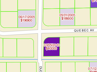
Parcel data is one of the most complex data sets and notoriously difficult to work with. A major issue with parcel data is lack of standardization in the organization and presentation of the data accross multiple counties. This is because each Property Appraiser has their own way of managing and presenting the data.
Parcel Shapefiles by County
MapWise provides standardized parcel data for customers who have desktop or enterpise GIS. This makes it much easier to work with parcel data in multiple counties.
- Each county is a single shapefile.
- 82 columns of parcel taxroll information are included.
- Attributes are standardized across counties.
- Polygons or centroids are available.
Contact Us
Contact Us or call 772-600-7353 to ask questions and discuss your needs.