Florida Parcel Maps and Data
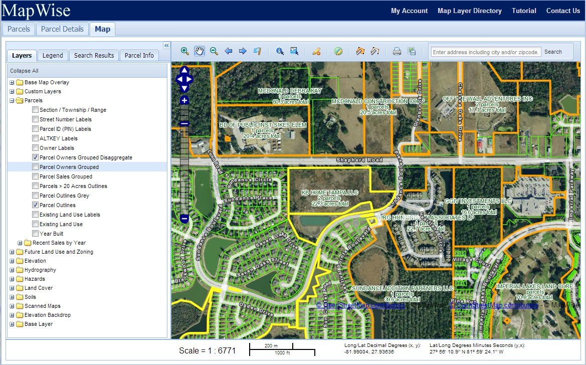
Use the MapWise GIS Map Viewer to quickly search for and find parcels anywhere in the state of Florida. Display selected parcels on the map along with over 70 different map layers. Export parcel data for mailing lists or further research. Print maps or generate images for presentation.
Use parcel information to:
- Find vacant land for development.
- Analyze recent real estate sales.
- Research property owner information.
- Generate property owner mailing lists targeting specific geographic areas.
- Perform due diligence on properties prior to acquisition.
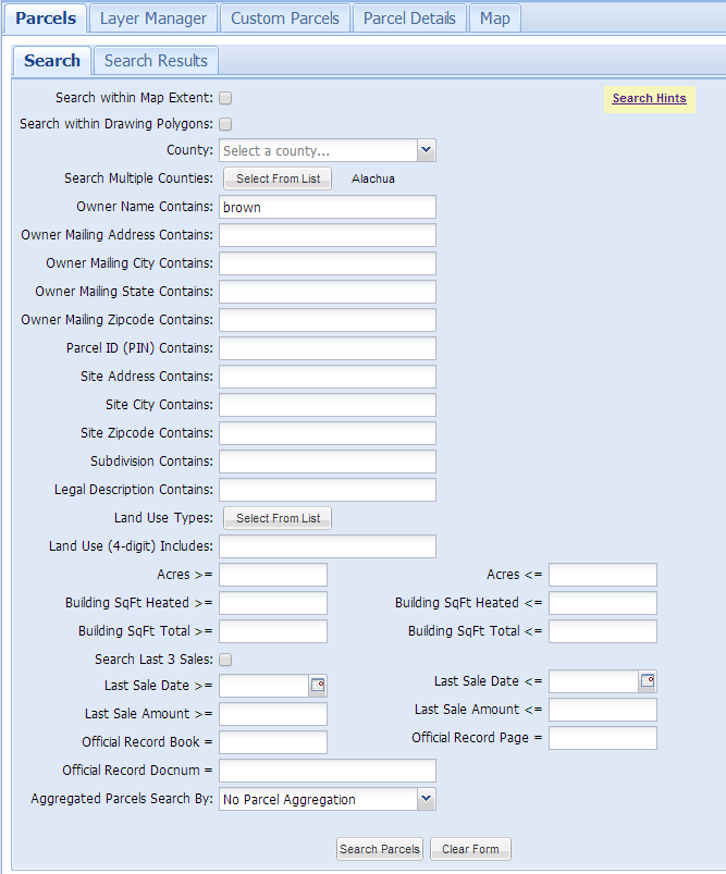
Parcel Search
Use the Parcel Search form to search for property by a wide variety of criteria.
- Parcel Identification Number (PIN)
- Site address
- Owner name
- Owner mailing address
- Sale date
- Sale price
- Legal description
- Heated Square Feet
- Acres
- Custom polygon
- and more ...
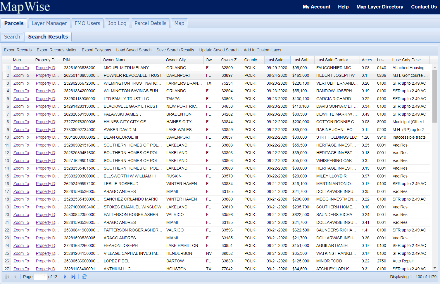
Search Results
The search results tab provides a spreadsheet-like view of your search results. You can sort results, modify the columns displayed, quickly zoom to a specific parcel, and get property details.
You have the option to save your search results to a named result so you can reload at a later time.
Up to 50,000 records of search results can be exported to Excel, tab-delimited text, or Shapefile format.
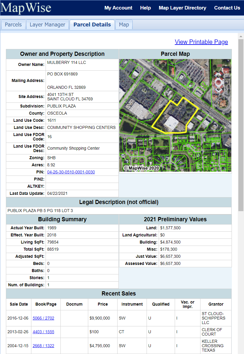
Parcel Reports
Parcel Details pages are available for every parcel in the state of Florida. Sections include Owner name, mailing address, site address, recent sales data, building details, and legal description. Most reports include a direct link to the county appraiser's web page for the property and the official records page for each sale associated with the property. Each report includes acreage statistics for soils, land cover and future land use.
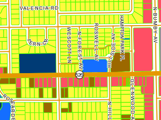
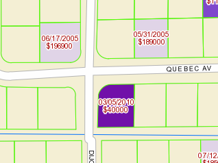
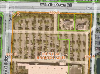
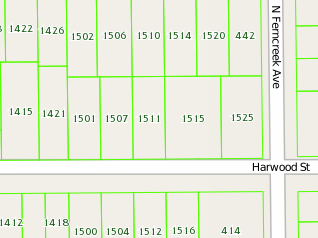
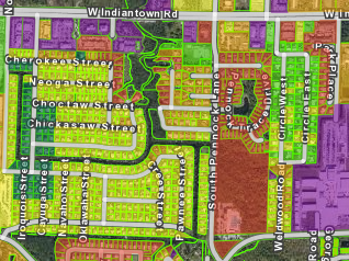
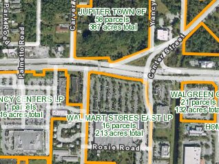
Parcel Map Layer Samples
The following examples are just a few of the ways parcels can be visualized in MapWise.
Additional GIS Map Layers to Overlay with Parcels
- Zoning
- Future land use
- FEMA flood zone maps
- Wetlands
- Elevation
- Soils
- Land Cover
- City Boundaries
- Schools
- Streets
- More...
Basemaps for Parcels
- Aerial photography - recent high-resolution
- Aerial photography - color infrared
- OpenStreetMap
- USGS Topo Maps
Intro to the GIS Map Viewer Video
The video is over 5 minutes long, but it walks you through most of the functionality so you get a good feel for the possibilites of what you can accomplish.