Aerial Photo and Satellite Image Map Layers
Aerial photos and satellite images are essential for studying details of the landscape.
Use aerial imagery to:
- Get a true picture of what is on the ground from above at a specific point in time.
- Identify unique features not shown on maps.
- Compare two dates of imagery to see changes over time.
- Explore and present issues related to Real Estate, engineering, legal, insurance, agriculture, recreation, and more.
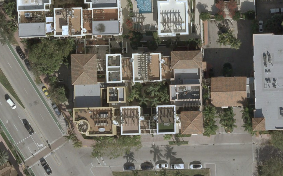
Aerials High-Resolution 2022-2025 True Color
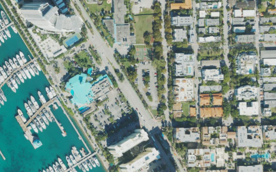
Aerials 2023 True Color
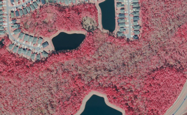
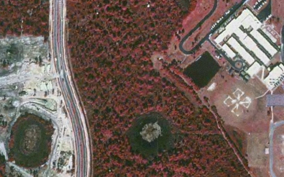
Aerials 2023 Color Infrared
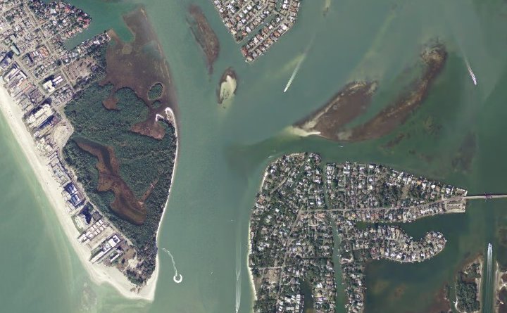
Aerials 2004 True Color
Aerials 1999 Color Infrared
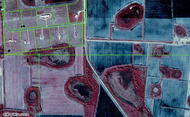
Aerials 1995 Color Infrared
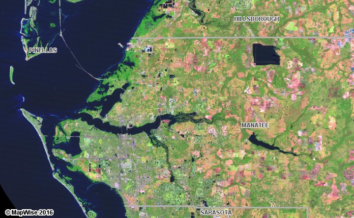
Satellite Imagery 15-meter False Color
How to Access Aerial Photo Map Layers
Use the MapWise GIS Map Viewer to explore aerial maps and related information.
- Built for real estate professionals.
- Covers the state of Florida.
- 7-Day Free Trial
- Pricing Info