MapWise Help Center
No matching topics found
Loading...
...Or Choose a MapWise Application to Get Started
Quick Tips & Getting Started
Below are a few pointers to help you jump-start your MapWise experience. Explore each application above for detailed docs and videos.
Getting Started
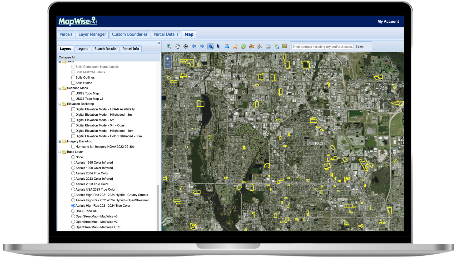
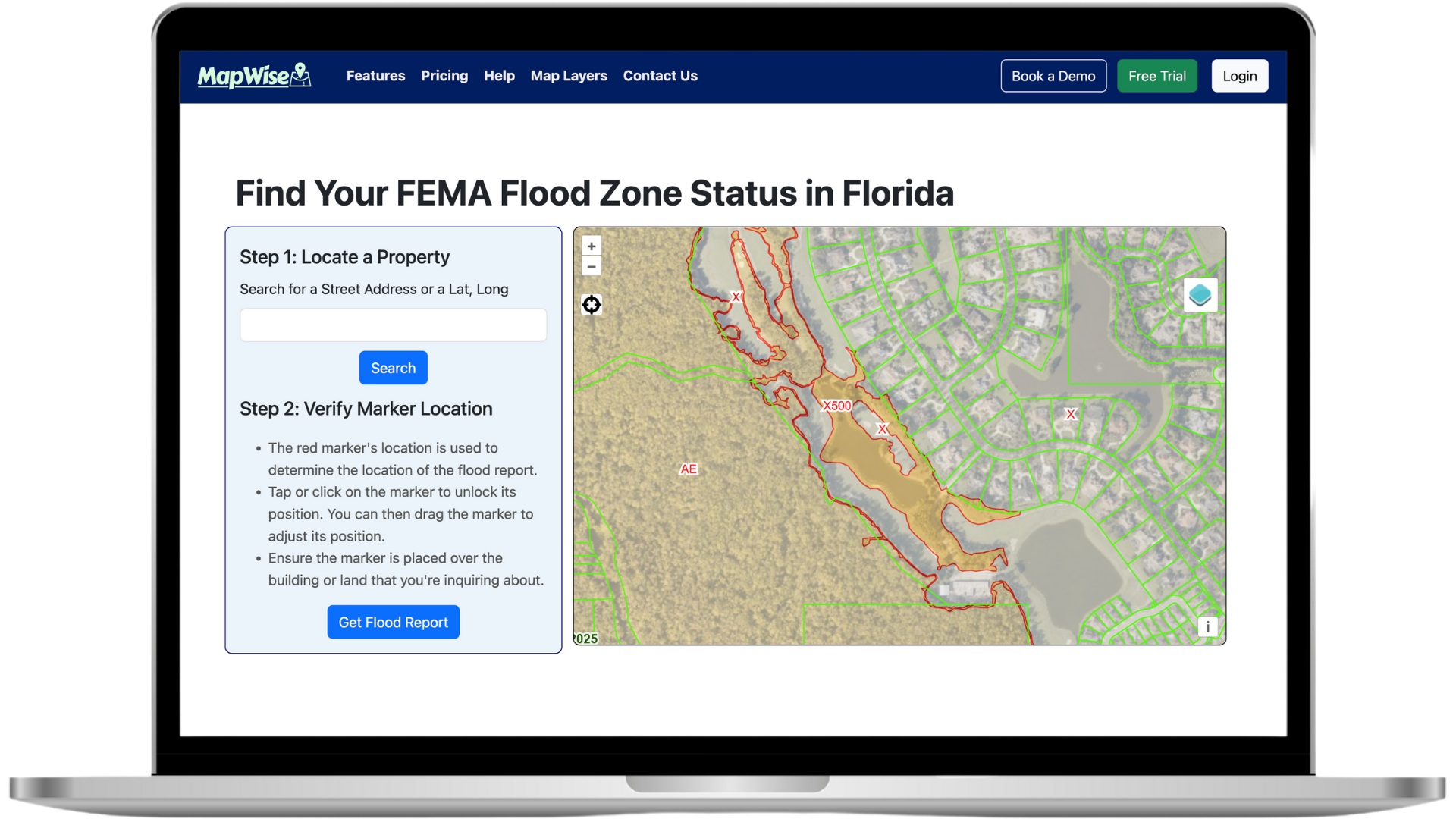
- After signing up or logging in, launch the Map Viewer or Flood Zone Tool from your dashboard.
- Use the search bar to locate an address, parcel ID, or zoom directly to an area.
- Need a refresher? Each help topic above dives deeper into features with screenshots & tutorials.
GIS Map Viewer Tips
- Enable the i-tool (information tool) and click on a parcel to view property details.
- Use the Select Parcels tools (point, polygon, radius, line) to search directly from the map.
- Create a Drawing Project to save polygons and run searches within your own boundaries.
Map Layers
- Browse hundreds of layers in the Layers tab—scroll to see them all.
- Some layers are scale dependent—zoom in to activate choices like Future Land Use.
- The Layer Manager lets you add additional layers to your map on the fly.
Drawing Tools
- Watch the Drawing Tools video for a quick overview.
- Remember to deselect the active drawing tool before editing an existing shape.
- Save drawings to reuse them across sessions and searches.
Need Additional Help?
Contact our support team
See MapWise in Action
Schedule a personalized demo
Ready to Get Started?
Select a plan or start your free trial


